Rain from Delta moves through the Middle Atlantic states
Published Oct 12, 2020 7:31 AM EDT
Copied
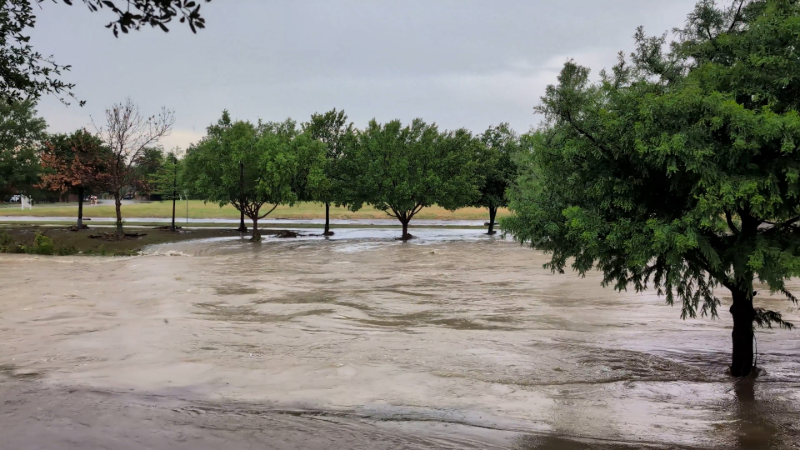
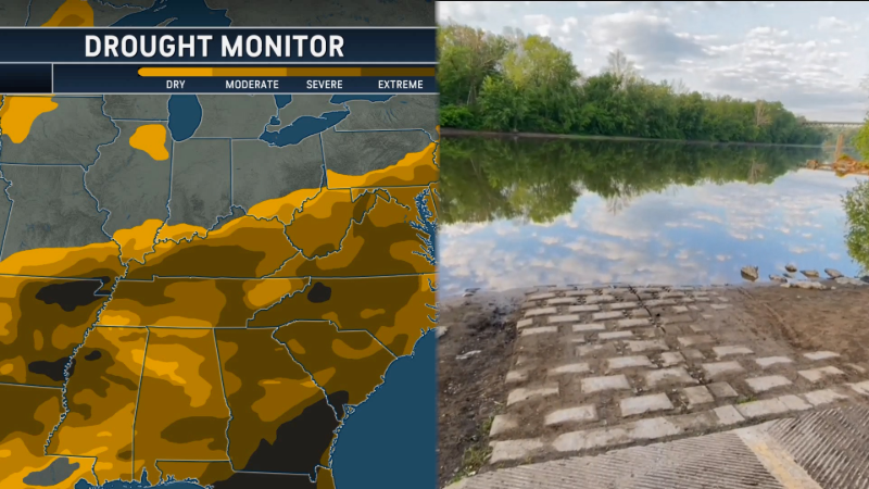
Delta will no longer cause the fierce winds it had along the Gulf Coast, but it will still be a heavy rain producer. This has not been welcome over much of the Southeast, where excessive rain has fallen recently. However, in drier areas farther north, the rain is most welcome (unless you have an outdoor activity planned). This satellite pictures shows where clouds and rain were located on Sunday evening:
The eastern rain was being caused by Tropical Rainstorm Delta. Some people still call such storms "remnants", but that term does not do justice to the flooding rains these storms can produce.
Note the band of showers and thunderstorms associated with a cold front crossing the Plains. As we look ahead, rain from that disturbance will reach areas of New York state and New England where rain from the first storm misses. Here are forecast maps at 12 hour intervals starting Monday at 8 a.m. The positions of high and low pressure areas are for the map time on the labels, but the precipitation shading covers what fell in the 12 hours leading up to map time. With storms moving along, this means that at map time, such of the area with shading actually represents rain that may have fallen well before map time. This is where the AccuWeather app comes in handy: it gives you an hour-by-hour assessment of what should be happening where you are.
From the last map, it is apparent that dry air extends from the northern Rockies to the Appalachians. With a westerly flow aloft, that means dry weather will be the rule in the Northeast for midweek. As the storm (causing the wet and white weather on the northwest part of this map) moves eastward, it will generate a southwesterly flow of warmer air until a cold front ushers in chilly air Friday.
Comments that don't add to the conversation may be automatically or
manually removed by Facebook or AccuWeather. Profanity, personal
attacks, and spam will not be tolerated.




Weather Blogs / Northeast US weather
Rain from Delta moves through the Middle Atlantic states
Published Oct 12, 2020 7:31 AM EDT
Delta will no longer cause the fierce winds it had along the Gulf Coast, but it will still be a heavy rain producer. This has not been welcome over much of the Southeast, where excessive rain has fallen recently. However, in drier areas farther north, the rain is most welcome (unless you have an outdoor activity planned). This satellite pictures shows where clouds and rain were located on Sunday evening:
The eastern rain was being caused by Tropical Rainstorm Delta. Some people still call such storms "remnants", but that term does not do justice to the flooding rains these storms can produce.
Note the band of showers and thunderstorms associated with a cold front crossing the Plains. As we look ahead, rain from that disturbance will reach areas of New York state and New England where rain from the first storm misses. Here are forecast maps at 12 hour intervals starting Monday at 8 a.m. The positions of high and low pressure areas are for the map time on the labels, but the precipitation shading covers what fell in the 12 hours leading up to map time. With storms moving along, this means that at map time, such of the area with shading actually represents rain that may have fallen well before map time. This is where the AccuWeather app comes in handy: it gives you an hour-by-hour assessment of what should be happening where you are.
From the last map, it is apparent that dry air extends from the northern Rockies to the Appalachians. With a westerly flow aloft, that means dry weather will be the rule in the Northeast for midweek. As the storm (causing the wet and white weather on the northwest part of this map) moves eastward, it will generate a southwesterly flow of warmer air until a cold front ushers in chilly air Friday.
Report a Typo