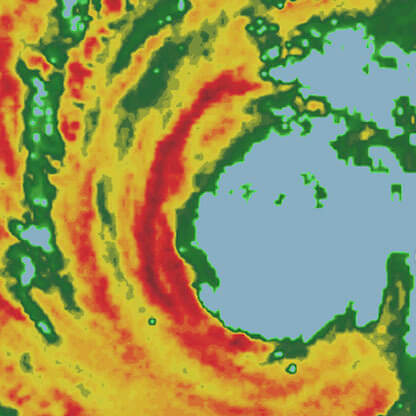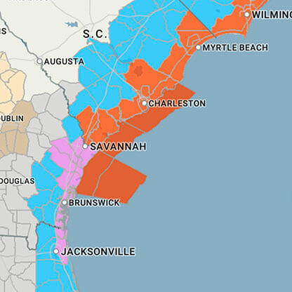
...FLOOD WATCH REMAINS IN EFFECT THROUGH LATE TONIGHT... * WHAT...Flooding caused by excessive rainfall continues to be possible. * WHERE...A portion of eastern North Carolina, including the following areas, Beaufort, East Carteret, Hatteras Island, Mainland Dare, Mainland Hyde, Martin, Northern Craven, Northern Outer Banks, Ocracoke Island, Pamlico, Pitt, Southern Craven, Tyrrell, Washington and West Carteret. * WHEN...Through late tonight. * IMPACTS...Excessive runoff may result in flooding of rivers, creeks, streams, and other low-lying and flood-prone locations. Flooding may occur in poor drainage and urban areas. * ADDITIONAL DETAILS... - Showers and embedded thunderstorms are expected through this afternoon. Rain may be heavy at times, with excessive rainfall possible. Additional storm total rainfall amounts of 2 to 4 inches are expected, with localized amounts over 5 inches in heavier banding of showers and storms. - http://www.weather.gov/safety/flood PRECAUTIONARY/PREPAREDNESS ACTIONS... You should monitor later forecasts and be alert for possible Flood Warnings. Those living in areas prone to flooding should be prepared to take action should flooding develop. &&


