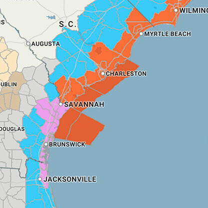
...FLOOD WATCH NOW IN EFFECT THROUGH LATE TUESDAY NIGHT... * WHAT...Flash flooding caused by excessive rainfall continues to be possible. * WHERE...A portion of central North Carolina, including the following counties, Durham, Edgecombe, Franklin, Granville, Halifax, Johnston, Nash, Orange, Person, Sampson, Vance, Wake, Warren, Wayne and Wilson. * WHEN...Through late Tuesday night. * IMPACTS...Excessive runoff may result in flooding of rivers, creeks, streams, and other low-lying and flood-prone locations. * ADDITIONAL DETAILS... - Repeated rounds of showers and thunderstorms are expected through late Tuesday. Storm total rainfall amounts of 1 to 2 inches are expected, with localized heavier amounts of 2 to 4 inches possible where storms train. - http://www.weather.gov/safety/flood PRECAUTIONARY/PREPAREDNESS ACTIONS... You should monitor later forecasts and be prepared to take action should Flash Flood Warnings be issued. &&


