A nor’easter will bring a mix of rain and snow to the Baltimore area from Sunday into Sunday night. Precipitation will be a mix of rain and snow before precipitation becomes primarily snow by Sunday evening. Due to above freezing temperatures, streets will remain wet through the first part of the storm, but slippery travel can develop by Sunday night. Snowfall totals of 3-6 inches are expected across the area, with heavier snow and totals over 6 inches most likely north and east of Baltimore. Major airline delays and flight cancellations are anticipated due to the storm's volatile nature in the coastal Northeast, where blizzard conditions are forecast.
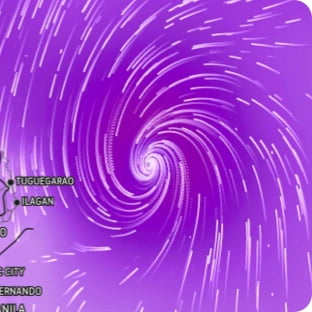
Wind Flow
This interactive map provides a visual representation of wind speed and direction over the next 24 hours
Maximum Sustained Winds
The projected maximum sustained winds of an active tropical system

Maximum Wind Gusts
The projected maximum wind gusts of an active tropical system
