Isolated severe storms to rattle I-95 region from DC to NYC
By
Alex Sosnowski, AccuWeather senior meteorologist
Published Jul 6, 2020 2:28 PM EDT
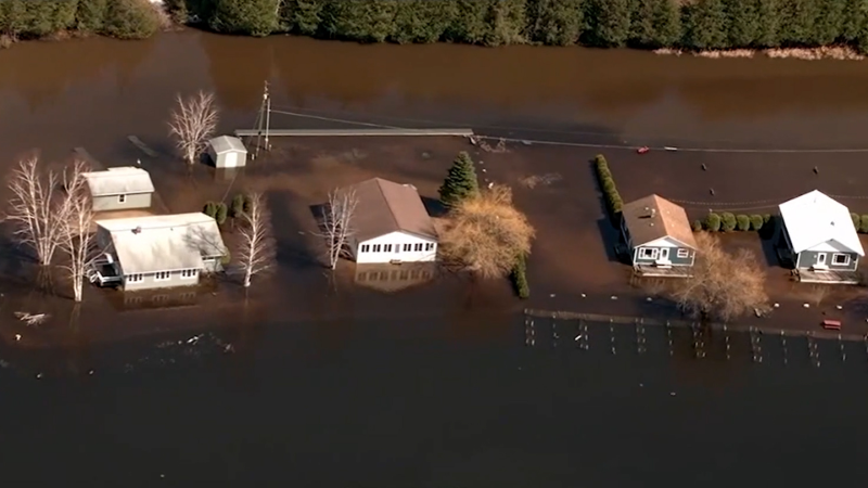
Heavy rain on July 6 caused streets to flood in Hamilton, New Jersey. Large hail was also reported in the storm.
One day after damaging storms nearly turned deadly in parts of the Northeast, spotty thunderstorms will erupt over portions of the central Appalachians, mid-Atlantic and southwestern New England into Monday night and have the potential to cause isolated severe weather.
During late Sunday, a ripple in the atmosphere allowed spotty thunderstorms to erupt and grow high into the atmosphere. These storms, in turn, produced isolated damaging wind gusts.
One such storm caused a tree to fall on a detached garage and crushed the structure where more than 20 people had gathered for holiday activities in Pasadena, Maryland, during late Sunday afternoon, according to United Press International. Pasadena is located about 17 miles south of Baltimore. The group had reportedly gathered to celebrate a child's birthday.
The Anne Arundel County Fire Department was called to the scene to help remove several victims who were trapped for nearly an hour. Six people had to be extricated from the debris, the fire department said. In total, 19 people were taken to five local hospitals, including two children, to be treated. One person was said to be in critical condition, while five others suffered serious injuries. The rest were said to be minor.
Firefighters responded to the scene of the collapsed garage in Pasadena, Maryland, on Sunday, July 5, 2020. (Photo/Anne Arundel County Fire Department)
CLICK HERE FOR THE FREE ACCUWEATHER APP
A similar pattern is forecast to be centered a bit farther north into Monday night. While the Baltimore area is still at risk for isolated thunderstorms, storms may also pay a visit other major cities such as Washington, D.C.; Philadelphia; New York City; Allentown and Scranton, Pennsylvania; Trenton, New Jersey; and New Haven, Connecticut.
A cluster of slow-moving storms drenched the Philadelphia area early Monday afternoon with radar estimated rainfall totals topping 5 inches in some spots. This prompted a flash flood emergency to be issued for nearly 4 million residents in and around the city. Hailstones as large as quarters also pelted the area.
The vast majority of the storms will not be severe, but they will come with the risk of a brief downpour, sudden breezes and a few lightning strikes, according to AccuWeather Senior Meteorologist Brett Anderson.
However, a small number of the storms will pulse in the 90 F July heat during the afternoon and early evening hours.
"These storms can briefly become severe with wind gusts in the neighborhood of 60 mph, torrential downpours and frequent lightning strikes," Anderson explained.
This type of setup can hit some neighborhoods hard and barely bring a drop of rain to others nearby. The storms can temporarily cool things by slashing temperatures by 20 degrees or more. Where storms linger for more than a few minutes, storm sewers can be overwhelmed and small streams can spill out of their banks, especially in urban or suburban locations where runoff is enhanced by paved surfaces.
A few isolated spots can be hit with hail from the storms as well.
People spending time outdoors or on the road should keep an eye out for approaching storms and rapidly changing weather conditions.
Never seek shelter under trees. Picnic pavilions and golf carts do not offer adequate protection from lightning. Move indoors at the first rumble of thunder. If you are out in the open, a hard-top car does offer some protection from a lightning strike.
Never attempt to drive through flooded roads. The water may be deeper than it appears, and the road surface may have been washed away beneath the water.
Later Monday night, the storms will tend to diminish, although a small number may continue to bring downpours, thunder and lightning well after dark.
Very spotty thunderstorm activity can occur during much of the rest of the week throughout the Northeast. A small number of these storms can once again briefly pulse to severe levels during the afternoon and early evening hours.
AccuWeather meteorologists will be monitoring the potential for a tropical system to take shape along the Atlantic coast during the middle to latter part of this week. Even if it doesn't develop tropical characteristics, this feature may spread drenching showers and thunderstorms into part of the Northeast toward the end of this week.
Keep checking back on AccuWeather.com and stay tuned to the AccuWeather Network on DirecTV, Frontier and Verizon Fios.
Report a Typo


News / Severe Weather
Isolated severe storms to rattle I-95 region from DC to NYC
By Alex Sosnowski, AccuWeather senior meteorologist
Published Jul 6, 2020 2:28 PM EDT
Heavy rain on July 6 caused streets to flood in Hamilton, New Jersey. Large hail was also reported in the storm.
One day after damaging storms nearly turned deadly in parts of the Northeast, spotty thunderstorms will erupt over portions of the central Appalachians, mid-Atlantic and southwestern New England into Monday night and have the potential to cause isolated severe weather.
During late Sunday, a ripple in the atmosphere allowed spotty thunderstorms to erupt and grow high into the atmosphere. These storms, in turn, produced isolated damaging wind gusts.
One such storm caused a tree to fall on a detached garage and crushed the structure where more than 20 people had gathered for holiday activities in Pasadena, Maryland, during late Sunday afternoon, according to United Press International. Pasadena is located about 17 miles south of Baltimore. The group had reportedly gathered to celebrate a child's birthday.
The Anne Arundel County Fire Department was called to the scene to help remove several victims who were trapped for nearly an hour. Six people had to be extricated from the debris, the fire department said. In total, 19 people were taken to five local hospitals, including two children, to be treated. One person was said to be in critical condition, while five others suffered serious injuries. The rest were said to be minor.
Firefighters responded to the scene of the collapsed garage in Pasadena, Maryland, on Sunday, July 5, 2020. (Photo/Anne Arundel County Fire Department)
CLICK HERE FOR THE FREE ACCUWEATHER APP
A similar pattern is forecast to be centered a bit farther north into Monday night. While the Baltimore area is still at risk for isolated thunderstorms, storms may also pay a visit other major cities such as Washington, D.C.; Philadelphia; New York City; Allentown and Scranton, Pennsylvania; Trenton, New Jersey; and New Haven, Connecticut.
A cluster of slow-moving storms drenched the Philadelphia area early Monday afternoon with radar estimated rainfall totals topping 5 inches in some spots. This prompted a flash flood emergency to be issued for nearly 4 million residents in and around the city. Hailstones as large as quarters also pelted the area.
The vast majority of the storms will not be severe, but they will come with the risk of a brief downpour, sudden breezes and a few lightning strikes, according to AccuWeather Senior Meteorologist Brett Anderson.
However, a small number of the storms will pulse in the 90 F July heat during the afternoon and early evening hours.
"These storms can briefly become severe with wind gusts in the neighborhood of 60 mph, torrential downpours and frequent lightning strikes," Anderson explained.
Related:
This type of setup can hit some neighborhoods hard and barely bring a drop of rain to others nearby. The storms can temporarily cool things by slashing temperatures by 20 degrees or more. Where storms linger for more than a few minutes, storm sewers can be overwhelmed and small streams can spill out of their banks, especially in urban or suburban locations where runoff is enhanced by paved surfaces.
A few isolated spots can be hit with hail from the storms as well.
People spending time outdoors or on the road should keep an eye out for approaching storms and rapidly changing weather conditions.
Never seek shelter under trees. Picnic pavilions and golf carts do not offer adequate protection from lightning. Move indoors at the first rumble of thunder. If you are out in the open, a hard-top car does offer some protection from a lightning strike.
Never attempt to drive through flooded roads. The water may be deeper than it appears, and the road surface may have been washed away beneath the water.
Later Monday night, the storms will tend to diminish, although a small number may continue to bring downpours, thunder and lightning well after dark.
Very spotty thunderstorm activity can occur during much of the rest of the week throughout the Northeast. A small number of these storms can once again briefly pulse to severe levels during the afternoon and early evening hours.
AccuWeather meteorologists will be monitoring the potential for a tropical system to take shape along the Atlantic coast during the middle to latter part of this week. Even if it doesn't develop tropical characteristics, this feature may spread drenching showers and thunderstorms into part of the Northeast toward the end of this week.
Keep checking back on AccuWeather.com and stay tuned to the AccuWeather Network on DirecTV, Frontier and Verizon Fios.
Report a Typo