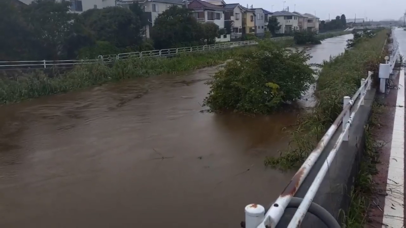
Hawaii could face tropical storm threat later this week
An area of tropical interest may develop in the eastern Pacific and approach Hawaii later this week, bringing the risk of heavy rain, rough surf, flooding and damaging winds.
Aerial images taken of the exact same neighborhoods before and after a destructive wildfire in Spokane County paint a dramatic picture.
AccuWeather meteorologists are monitoring a tropical disturbance that may develop in the central Pacific and could eventually approach Hawaii later this week. The tropical threat comes amid a busy Pacific hurricane season linked to the strengthening El Niño.

El Niño is the warm phase of a recurring climate pattern in the tropical Pacific, which can last several months to more than a year and may vary in strength. El Niño typically favors above-average tropical activity in the eastern and central Pacific and tends to suppress activity in the Atlantic.
As El Niño continues to strengthen, the eastern Pacific remains active, with seven named storms, including two hurricanes, so far this season.
Of the two hurricanes, Genevieve reached Category 5 intensity, with maximum sustained winds of 160 mph, during the last week of July.

Only Fausto has crossed Hawaii’s longitude so far this season. The weakening tropical storm passed well north of the islands in late July, limiting its effects to increased waves and isolated showers.
After a lull during the first week of August, signs point to tropical activity increasing again in the eastern Pacific.
"We are monitoring two areas in the eastern and central Pacific for possible tropical development during the second week of August," AccuWeather Lead Hurricane Expert Alex DaSilva said. "One could encounter steering winds that guide it toward Hawaii."

AccuWeather meteorologists have identified Aug. 11-13 as the most likely window for the tropical wave to develop.
"If this wave develops, steering winds could bring impacts to Hawaii Friday afternoon through Sunday," DaSilva said.
A tropical storm or hurricane could track close enough to Hawaii to produce dangerous seas and surf, heavy rain, flash flooding and locally damaging winds. Even without becoming a named storm, a strong tropical wave could increase trade winds and bring more frequent showers and thunderstorms to parts of the islands.

A broad area of thunderstorms hundreds of miles to the southeast of Hawaii remained poorly organized on Monday morning, Aug. 10, 2026. There was some slight spin to the thunderstorm zone, but thus far, no one or two organized centers. (AccuWeather Enhanced RealVue™ Satellite)
"Two scenarios are beginning to become apparent for the high-risk area highlighted southeast of Hawaii. A northern track would likely see the storm track over cooler waters, leading to a less intense storm and lesser impacts to the Hawaiian Islands from later Friday into Sunday. However, a southern track would lead to the storm tracking over warmer waters, which would favor a more intense storm with more significant impacts to the Islands, as well as potentially becoming a hurricane. It is also possible the storm would track directly through the Islands," AccuWeather Meteorologist Nicholas Arman said.

"Regardless of track and intensity, dangerous surf and rip currents are expected late this week and into the weekend across the Hawaiian Islands," DaSilva added.
AccuWeather meteorologists currently assess a high chance that the tropical wave will develop within the next few days. The next named storm in the central Pacific will be Lala.

"We are projecting 17-22 named storms in the eastern Pacific and four to seven in the central Pacific in 2026," DaSilva said. "Of those, nine to 13 could become hurricanes in the eastern Pacific and two to four in the central Pacific."

The eastern and central Pacific hurricane basins are divided at 140 degrees west longitude.


Want next-level safety, ad-free? Unlock advanced, hyperlocal severe weather alerts when you subscribe to Premium+ on the AccuWeather app. AccuWeather Alerts™ are prompted by our expert meteorologists who monitor and analyze dangerous weather risks 24/7 to keep you and your family safer.
Report a Typo