Frigid air to grip northwestern US during first week of 2017
The first week of 2017 will start out unseasonably cold across the northwestern United States.
“Arctic air will pour into much of the West during the first week of the new year,” AccuWeather Meteorologist Jordan Root said.
A southward plunge in the jet stream will unleash the flood of arctic air.
The jet stream is a fast flow of air high in the atmosphere that typically separates cold air to the north and warm air to the south.

The arctic push will quickly follow on the heels of early-week snow.
About 3 inches of snow fell in Seattle during the early morning hours on Sunday. This was the first time it snowed in the city on New Year's Day since 2004.
Into Tuesday night, the snow will expand across the Sierra Nevada, Great Basin, Wasatch mountains and Colorado Rockies.
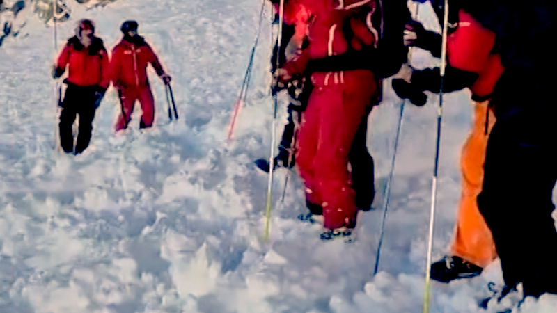
The fresh powder will give a boost to ski resorts for the start of 2017.
The coldest air from the arctic push will be felt on Tuesday and Wednesday.
“Daytime temperatures will generally range between 10 and 20 degrees Fahrenheit below normal for a few days this week, although in some areas, temperatures may fall up to 30 degrees below normal,” Root said.
Daytime temperatures will struggle to surpass the freezing mark in Seattle and Portland on one or both days. Highs are typically in the middle 40s at the start of January in both of these cities.
Over the interior Northwest, temperatures will struggle to escape the single digits and teens. This includes in Spokane, Washington; Billings, Montana; and Pocatello, Idaho.
The next storm will take aim at the West Coast at midweek. This storm threatens to bring significant rain and snow to parts of northern and central California.
After the rain that fell on New Year's Day, Southern California will also have more opportunities for wet weather later this week.
Report a Typo


