Brief Lake-Effect Snow Tonight
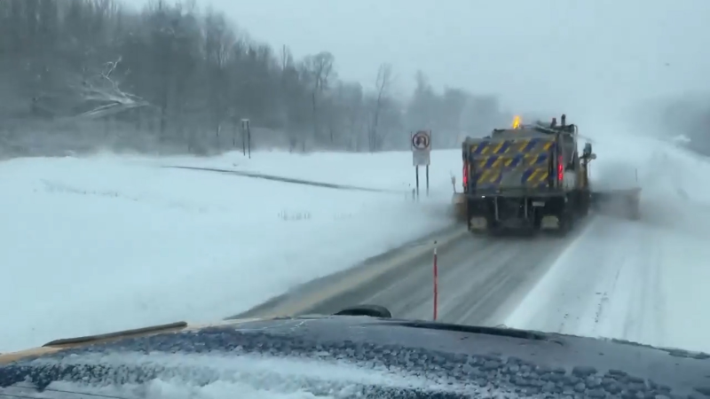
Colder air crossing Lake Huron tonight (Monday) into tomorrow (Tuesday) morning will trigger a band of lake-effect snow. The band will initially form in the Owen Sound to Blue Mountains region early tonight then will steadily shift southward overnight and into tomorrow morning before weakening.
Keep in mind, this will be a minor event. Atmospheric conditions are not that great for lake effect and the band will not sit in one place for an extended period of time, so accumulations will be light by lake-effect standards.
The band might reach its greatest intensity somewhere between Kincardine and Goderich, then inland toward Listowel early Tuesday morning.
A disorganized band may get to London by Monday afternoon, but it will be quite weak by then as the surface flow becomes more anticyclonic.
------ Arctic air will be coming in 2 to 3 short bursts this week with the main shots directed into Quebec, New Brunswick and northern New England.
----
Note: this week will be outstanding for skiing and snowmobiling across a large part of Canada as there will not be any major storms, winds generally light and snow cover is widespread.
Looks like I will be hitting the slopes this evening, but I will try to tackle the long-range stuff tonight.
Happy New Year!
Report a Typo


