A Look at the Monthly Long-Range Forecast Models
Goodbye to the Arctic air for now, but it will be coming back later in the month, though not to the extreme of what we have seen recently.
---------
Extended long range
Below is my interpretation of what the new monthly forecasts from the (European) ECMWF model show through March. I will cover the rest of the spring on another post. This product was released yesterday.
We do feel that the February forecast is not cold enough, especially in the central and east, based on a number of other factors that we are focused on.
By the way, the ECMWF has also trended warmer with ENSO for the upcoming summer with a possible weak El Nino developing. We will see.
-----U.S./Canada model ensemble
The Updated U.S. Climate Prediction Center's (CPC) experimental, national multi-model ensemble (NMME) forecast was released earlier today. The images are below.
The NMME uses the monthly forecasts of several U.S. and some Canadian models and combines it into one based on skill and biases of each model. Basically a consensus.
This approach looks very promising and will eventually become operational as it tends to show higher overall skill than any one particular model over an extended period of time.
Images courtesy of the Climate Prediction Center.....
February temperature anomalies
The model shows highest temperature skill (highest probability that the forecast will be correct) for February will be in the Pacific Northwest/southern BC and indicates highest skill in terms of precipitation anomalies to be over the U.S. Southwest where the drought is ongoing. This skill information is gathered from other monthly charts on the website.
February precipitation anomalies
March temperature anomalies
Highest skill projected to be over the Pacific Northwest/southern BC again for temperature in March and once again highest skill for precipitation projected to be over the Southwest U.S. March precipitation anomalies
April temperature anomalies
Highest temperature anomaly forecast skill projected to be over the eastern Prairies and U.S. Plains for April while there is little or skill showing up for precipitation in April.
April precipitation anomalies
Keep in mind, there is almost always much lower skill in these long-range precipitation anomaly forecasts compared to temperature anomalies. Skill level also drops off quickly from month two and beyond.
-----
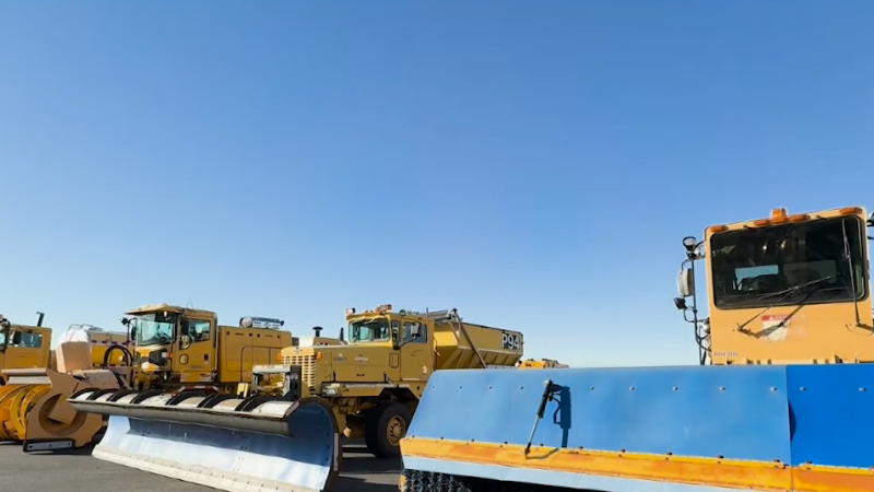
Southampton, Ontario, (along Lake Huron and just south of the Bruce Peninsula) got walloped with lake-effect snow over the past few days. Not exactly sure how much snow fell, but you can get a pretty good idea of what happened thanks to this excellent in car video taken just after the storm. Want to know what type of vehicle this person was driving as it has no problem navigating the snow covered roads which have been closed for three days.
Sometimes on the west to west-southwest wind during lake-effect storms there is enhancement of the Huron band coming into this area thanks to the convergence of air over Saginaw Bay in Michigan just north of the thumb. This may have been at place in this particular situation.
Report a Typo