Northeast Corridor: Fine Most of Weekend; Maybe Snow Sunday night
Friday morning
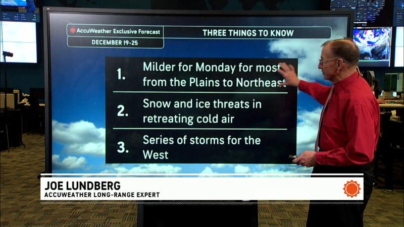
Milder air is moving northward along the East Coast. A cold front that will move off the Northeast coast tonight will cause an episode of rain and in some areas a thunderstorm this afternoon in the I 95 corridor from Philadelphia to Boston this afternoon. Just before 11 AM, a tornado watch was issued for places from Delaware and extreme southern New Jersey southward to eastern North Carolina . The weekend looks dry, and milder than during any weekend since Groundhog Day. If you remember back to then, you'll recall that accumulating snow occurred late Sunday night and Monday morning. There are some indications the same thing could happen this coming Sunday night. Here is my morning video. After that is the video I do most days with Evan Myers.
This is the NAM-WRF idea for Sunday night at 1AM. The green shaded area represents precipitation for the 6 hours leading up to 1 AM. IF correct, there would be some wet snow from Philadelphia to Boston overnight.
Report a Typo


