UK: England to enjoy highs past 20 C this weekend before Ophelia nears
Temperatures will rise across the United Kingdom this weekend before Ophelia tracks close enough to kick up strong winds and stir dangerously rough seas early next week.
Brollies and jackets can be left at home across the southern U.K. this weekend. As rainy spells get shunted northward, the door will open for warm air to pour northward.
Temperatures will first start to soar on Friday with highs of 16-19 C (60-67 F) expected throughout Wales and England. Temperatures in more locations will reach or exceed 20 C (68 F) this weekend with increasing amounts of sunshine.

Afternoon temperatures this weekend will rise 4-8 degrees Celsius (7-14 degrees Fahrenheit) above typical mid-October highs.
While many will likely take full advantage of the warm spell by getting outdoors, runners of Sunday’s Great Birmingham Run may be wishing for cloudy and cooler conditions.
As the warm sun beats down on runners, temperatures are expected to rise through the upper teens C (middle to upper 60s F) during the biggest half marathon in the Midlands. A gentle breeze will blow from the south-southwest.
This weekend will also turn out to be fairly mild across the northern U.K. despite the unsettled weather. Rainy spells across Northern Ireland, southern Scotland and northern England on Saturday will taper to odd showers on Sunday as the rain shifts to far northern Scotland on Sunday.
The weekend will then end with a high of 16-17 C (lower 60s F) in Belfast, Glasgow, Edinburgh and Inverness. A high near 13 C (55 F) is more common this time of year in these cities.
The warm spell will come as Hurricane Ophelia churns toward the British Isles. Ophelia is expected to pass between the Azores Islands and Madeira this weekend.

Despite losing its tropical characteristics, Ophelia will still be a powerful windstorm as it makes its closest approach to the British Isles early next week.
"The most likely track is for Ophelia to bypass the U.K. but may pass close enough to graze Ireland and western Scotland with strong winds early next week," AccuWeather Meteorologist Rob Richards said.
Blustery showers are also expected to accompany Ophelia, but the greatest impact to the British Isles is expected to be gusty winds.
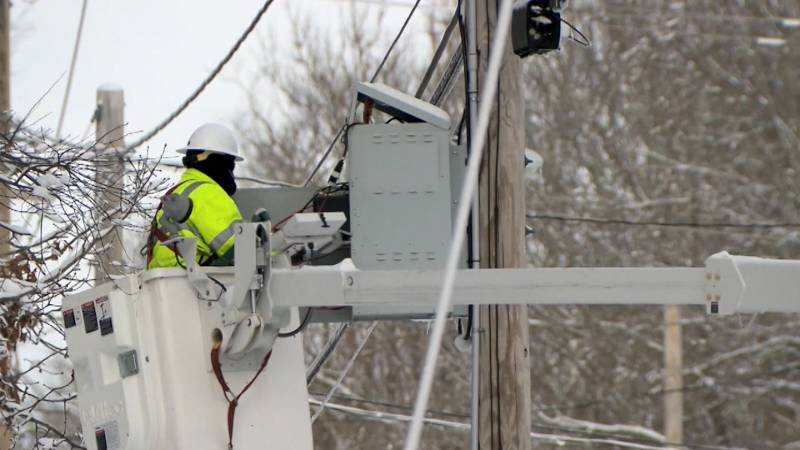
Based on the projected path of Ophelia, wind gusts of 60-75 mph (96-120 km/h) may cause scattered power cuts and significant travel disruptions to western Scotland. Some structures may sustain damage.
Gusts strong enough to cause sporadic issues may also howl eastward to Plymouth, Manchester and Edinburgh. Latest indications keep these winds to the north and west of London.
"However, more rain and wind would target the U.K. if Ophelia tracks farther to the east," Richards said. "Another scenario is that Ophelia tracks far enough to the west for the worst of its rain and wind to even bypass Ireland."
Regardless, dangerously rough seas will build over the Atlantic Ocean and into the Celtic and Irish seas as Ophelia makes its closest approach. Coastal flooding and disruptions to ferry services may result.
Report a Typo


