Severe weather outbreak, intense tornadoes to rip through Kansas to Texas
There is the likelihood of violent storms, including tornadoes in a large part of Kansas and portions of Oklahoma and Texas through early Thursday night.
Some residents who are still picking up the pieces after tornadoes, large hail and destructive winds that ravaged the Plains and Upper Midwest on Tuesday afternoon through Tuesday night will need to brace for severe weather once again.

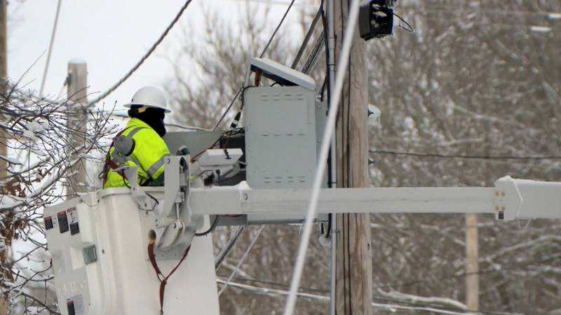
Severe storms slammed Iowa on Wednesday afternoon and evening with winds frequently gusting past 70 mph. This lead to over 20,000 power outages across the state and multiple accidents on the roads.
"The storm threat into Thursday night can unfold into a very dangerous situation as multiple tornadoes are likely to be spawned by rotating supercell thunderstorms," according to AccuWeather Senior Meteorologist Alex Sosnowski.
Some of the tornadoes produced by the thunderstorms could be on the ground for more than a few minutes and may reach extreme intensity.

"The event has the potential to produce strong tornadoes and perhaps a greater number of tornadoes in a much smaller area, when compared to Tuesday," Sosnowski said.
The 30 or so tornado reports were scattered from Texas to Wisconsin on Tuesday.
Unlike Tuesday, the storms will erupt early in the afternoon, rather than hold off until the end of the day.
In addition to the threat for violent tornadoes, damaging winds gusts to 70 mph, large hail and torrential downpours will be the most widespread impacts.
The winds can scatter around debris left behind from prior storms this week and turn them into dangerous projectiles, potentially causing additional damage to trees, power lines and structures. Fully charged cell phones and flashlights will be necessities in case of power outages.
The hail will likely be large enough to smash car and building windows, and significantly injure anyone who is caught outdoors.
The risk of severe storms will continue over part of the southern Plains into Friday evening.

The storm will move at a much slower pace compared to its predecessor, which will heighten the risk of repeating thunderstorms and flooding.
“These will be slow-moving storms, so prolonged and repeating downpours will bring the potential for flooding,” according to AccuWeather Senior Meteorologist Frank Strait.
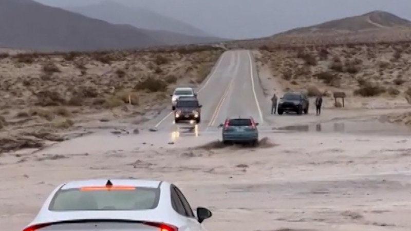
Motorists along portions of interstates 20, 35, 40, 44 and 70 will face downpours that reduce visibility to near zero and ponding of water on the road. However, these routes may be a better option to avoid flooding along low-lying, secondary roads.
The slow-moving nature of the storm will mean another round of flooding and severe thunderstorms along the same corridor from Friday into Saturday.
Report a Typo


