Potent storms to roll across northwestern US into next week
Following the first significant storm of the season across the interior northwestern United States, more rounds of rain, snow and chilly air are in store this week.
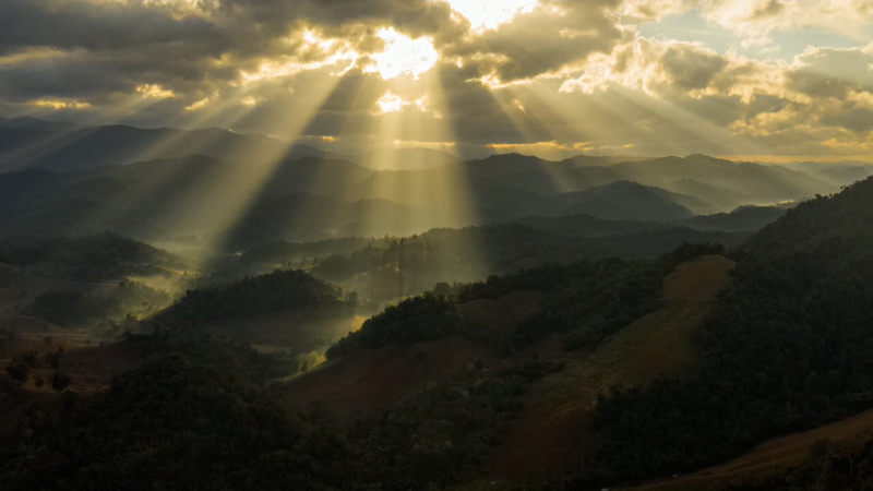
The fall and winter months are when the Northwestern states receive the bulk of their yearly precipitation.
Friday into Saturday, the interior Northwest and northern Plains received a chilly, but beneficial soaking rain as the first storm swept through the region. The higher elevations around Helena, Montana, received more than 12 inches of snow.
Storms of this magnitude will only become more frequent as we head through late September and October, according to AccuWeather Meteorologist Jordan Root.
There will only be a brief break before the next storm arrives at the coast to end the weekend.

“A strong system will push into coastal areas of the Pacific Northwest, leading to what could be significant rain coming into Oregon and Washington into Monday night before pushing into the northern Rockies by Tuesday,” AccuWeather Senior Meteorologist Jack Boston said.
Roads could be slippery at the onset of rain along Interstate 5 due to oil buildup from the recent dry stretch.
Another significant push of chilly air will follow in the storm’s wake.
There is a good chance for more snow above 5,000 feet in elevation, according to Boston.
The Cascades and Blue Mountains will likely see their first flakes of the season early next week.
Snow will top off the peaks of the northern Rockies and could trigger another round of slippery travel.
Residents and travelers should anticipate slower commutes on the roads and possible delays at the airports during the wet and wintry pattern next week.
“Temperatures will continue to run below normal through the first half of next week behind the system, with patchy clouds and scattered showers,” Boston said.
The press of cool air will be far-reaching, knocking temperatures below normal in Sacramento and Fresno, California; Reno and Las Vegas, Nevada; and Salt Lake City, Utah.
A more potent storm could plow into the Pacific Northwest around the middle of next week.
The stormy pattern will help to slash the severe to exceptional drought that has been occurring in the region, as well as douse wildfires that have seared the Northwest this summer and have led to weeks of poor air quality.
Report a Typo