Northeastern US storm to deliver rain, wind, snow and usher in much colder air
A strengthening late-week storm will unleash flooding rain, wind and a wintry mix as it ushers in much colder air to the northeastern U.S.
Two separate systems will combine to produce this multi-faceted and winterlike storm, including one storm that will first spread snow across the Midwest and another that will form along the mid-Atlantic coast.
In the wake of the double-barreled storm system, a lake-effect snow event will bring the greatest snowfall so far this autumn to some locations.
Rain and wind to cause flooding and bring down autumn color
A mixture of rain, sleet and wet snow will continue to fall over parts of New York State, northeastern Pennsylvania and northern New England into Friday evening.
Enough of a wintry mix can fall to coat windshields and some secondary roads.
Rain is forecast to replace the wintry mix for a time later Friday night.
"The timing of the steadier, heavier rain in the I-95 corridor, from D.C. to New York City, means that worst conditions will be mainly at night in these areas," said AccuWeather Meteorologist Steve Travis.
At times, downpours could reduce visibility for motorists and create ponding on the roadways.
Through the night, rain will continue to advance north and east into New England. This could make for wet high school football games or even the cancellation of some high school sporting events.

Download the free AccuWeather app to check how much rain is expected for your area and also to check MinuteCast® to see when rain will be arriving.
Rainfall amounts through Friday night will generally surpass 0.50 of an inch but could reach as high as 1.50 inches where the heaviest rain falls.
Low-lying and poor drainage areas will be most likely to get any flooding. However, the falling leaves this time of year could expand flooding and travel issues.
"Heavier rain and any breezy winds could increase the number of leaves falling off the trees. In addition to the leaves that have already fallen, these could clog storm drains, leading to urban flooding issues," Travis added.
Wet leaves also create a more slippery surface on roads and sidewalks, which can prompt the need for more cautious driving tactics.
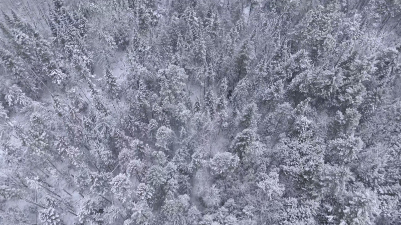
Snow to mix with rain in New England
Noticeably cooler air will be present across much of the Northeast ahead of this storm.
Northerly and high-elevation locations will have the best chance for accumulating snow or a wintry mix, especially at the onset of precipitation and as temperatures fall during Friday night.
"Other than at the onset of the storm, where the Laurels of Pennsylvania and the Alleghany Plateau of New York could get some snow, the majority of the snow with this storm will fall on the western flank," Travis said.
By Friday evening, most of the rain will be done across western New York and northern Pennsylvania, but that's when there could be a change to snow.
"Although a lot of accumulation is not expected, there can be an inch or two of accumulation, especially on grassy surfaces," Travis added.
Higher snowfall accumulations will be confined to the higher elevations or any spot located under a lake-effect snowband into Saturday night.
December-like air to grip the Northeast for the weekend
Progressively colder air will pour over the region into the weekend.

"After being in the 50s in Philadelphia on Friday, temperatures will drop to the middle 40s during the weekend," said AccuWeather Senior Meteorologist Mike Doll.
Similar temperature falls will occur in D.C. and New York City.
Meanwhile, high temperatures will be mainly confined to the 30s in cities like Pittsburgh; Buffalo, New York; and Burlington, Vermont.
Communities from the Appalachians on west will end up being as much as 20 degrees below normal.
Brisk winds on Saturday will make it feel even more wintry. With gusts up to 35 mph at times, AccuWeather RealFeel® temperatures will drop into the teens and 20s.
This will be one of several waves of cold air over the next week that will expand from the core of cold gripping the northern Plains.
Next storm due during Monday night to Tuesday night
"Another storm is poised to affect the Midwest and Northeast with rain and snow early next week," according to AccuWeather Senior Meteorologist Alex Sosnowski.
"At this time it looks as though that storm will track far enough to the west to bring rain to the Atlantic seaboard from Washington, D.C to New York City and Boston," Sosnowski said.

There is the potential for a stripe of heavy snow to develop in parts of the central Appalachians. Heavy snow is more likely over northern New York state and northern New England with a secondary area of heavy snow over the upper Great Lakes.
"It is early yet and the details on that storm will be revealed over the next couple of days," Sosnowski said.
"There may be a brief period of gusty winds and above normal tides along the mid-Atlantic and New England coasts with the storm early next week."

Click the image above to play Forecaster Challenge and test your weather prediction skills.