Blizzard to clog travel with up to a foot of snow from Iowa to Michigan
Less than 24 hours after record-challenging warmth, a storm will threaten part of the north-central United States with blizzard conditions through Friday.
In some areas, temperatures will plunge 40 degrees Fahrenheit after peaking in the 60s and 70s at midweek. Temperatures will peak in the 20s and 30s during the storm on Friday.
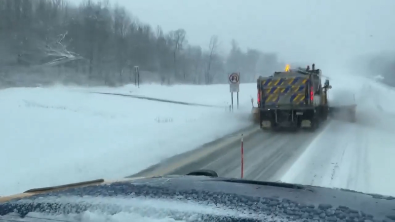
As snow spreads northeastward, the storm is likely to cause major travel disruptions along the Interstate 35, 80, 90 and 94 corridors. Snow will clog roads from Iowa to southern Minnesota and northern Michigan.
While the heaviest snow has departed Nebraska, gusty winds will continue to cause blowing and drifting snow on Friday.

"From portions of northern Iowa to the shores of Lake Superior, the combination of heavy snow and increasing wind and decreasing visibility may create blizzard conditions for a time," according to AccuWeather Storm Warning Meteorologist Alex Avalos.
Initially the snow will be wet, slushy and clinging in nature. However, as roads and other surfaces cool and winds increase, the snow will become more powdery and subject to extensive blowing and drifting. Wind can gust to 45 mph in some locations.

Over a foot of snow fell in portions of Wyoming and Nebraska on Thursday. The heaviest snow will shift north and east throughout Friday.
Cities most at risk for a foot or more of snow and blizzard conditions on Friday include Rochester, Minnesota, and Eau Claire, Wisconsin.
There will be a sharp variation in snowfall totals along the northern and southern edges of the snow.
A difference of 50 miles or so could bring conditions ranging from a little snow and slush to 18 inches of snow.
Denver will be on the southwestern fringe of the storm. However, a couple of inches of snow with a freeze-up can be enough to create icy roads and airline delays into Friday morning.
By late Friday night, it may turn cold enough at the tail end of the storm for a bit of snow to fall on Chicago and Milwaukee, following rain as the primary form of precipitation during Thursday and Friday. The combination of rain and a low cloud ceiling could be enough to cause minor travel delays.
The storm will not bring any snow to Indianapolis, Detroit and Kansas City, Missouri. However, temperatures will be slashed by 20 to 30 degrees by the end of the week.
This is the same storm system that slammed Northern California with brought up to 6 inches of rain, flooding and mudslides, as well as several feet of snow and gusts to near 200 mph to the high Sierra Nevada from late Sunday to early Tuesday.
Conditions from the storm will be much less intense over the Central states. However, the storm will remain potent enough to cause significant travel problems from heavy snow, heavy rain and severe thunderstorms.
Report a Typo


