Barrage of winter storms to upset travel in central, eastern US well into February
Storms are lining up for frequent rounds of wintry precipitation and travel disruptions over the central and eastern United States into the third week of February.
The combination of a strong temperature contrast from north to south and an active jet stream is likely to fuel a storm every one to three days.
Waves of cold air will continue to dip into the North Central states, while warmth holds on in the Deep South.

Blockbuster storms are not foreseen in the pattern this far out.
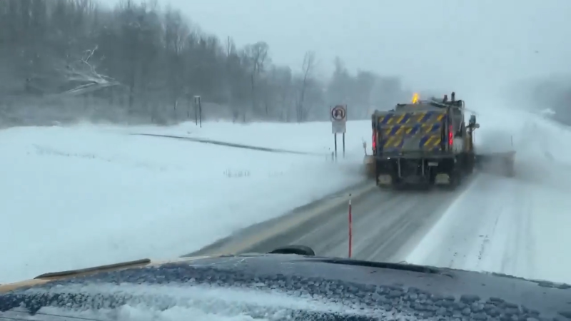
Still, some communities in the Midwest and northern Appalachians may be hit by snow and/or a wintry mix so often that salt may end up in short supply and schools may rack up a number of snow days.
The pattern has the potential to put down snow over parts of the northern and central Rockies, and may be heavy in a cumulative aspect in a stripe near the heavily populated Interstate-80 corridor of the Midwest.

It appears that most of the storms will bring mostly rain to the very busy travel corridor from Washington, D.C., to Philadelphia, New York City and Boston.
"Into the third week of February, the pattern is likely to remain too progressive to keep cold air in the I-95 corridor long enough for all or mostly snow," according to AccuWeather Lead Long-Range Meteorologist Paul Pastelok.

Even rain, when combined with a low cloud ceiling, can lead to substantial airline delays in the major eastern hubs.
However, the track and strength of each storm will vary so that at least part of some of the storms will bring snow or a wintry mix to portions of the Ohio Valley and coastal mid-Atlantic.
Following a storm during the middle of this week that is forecast to bring snow and ice to the Midwest and Northeast, another storm may bring more snow to part of the Central states this weekend.
The storm this weekend may bring snow to the major hubs of Denver, Chicago and Detroit.
Warmer air is likely to erode into the cold air from the central Appalachians to much of New England with a storm next weekend.
"Toward the latter part of February, we expect some changes so that part of the North Central states may trend less stormy," Pastelok said.
"We may still get sizable storms in the East, however," Pastelok said. "If cold air is able to get bottled up in the Northeast, there is a chance one of those storms may bring decent snow to the I-95 corridor."
The pattern will bring rounds of rain from parts of the South Central states to the Southeast. Much of this area may benefit from the rain due to long-term abnormally dry to drought conditions.
It is possible that one or more of the storms will bring heavy, gusty thunderstorms and perhaps severe weather to parts of the South.
Where heavy rain falls or rain quickly washes away snow cover over parts of the Northeast, flooding problems could occur.
Report a Typo


