New heat dome to spread 100 F heat from Texas to Dakotas this weekend
Dangerous heat is set to expand northward over the Plains as a powerful heat dome delivers widespread 100-degree temperatures, extreme AccuWeather RealFeel® Temperatures and only spotty thunderstorm relief.
Dangerous heat in the middle of the country and thunderstorms in the Northeast may seem like two completely separate forecasts, but they’re actually linked. AccuWeather’s Geoff Cornish explains how.
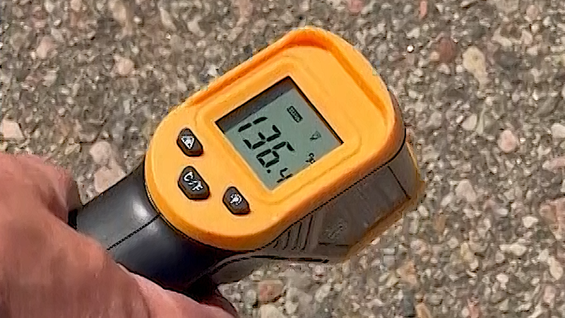
A heat dome will sprawl over the Southwest and Plains this weekend into early next week, bringing triple-digit temperatures to every state from Texas to North Dakota. AccuWeather RealFeel® Temperatures will climb well above 100 degrees across much of the region.
Heat domes have dominated the weather pattern this summer, bringing prolonged stretches of extreme heat from the Plains and Midwest to the East and the interior West.

This latest heat dome has already settled over Texas and the interior Southwest. Dallas reached 100 Monday and 106 Tuesday, and highs are forecast to remain at or above 100 through early next week. Even with clouds and rain spreading into parts of coastal and central Texas later this week from Bertha, the metro area is expected to stay exceptionally hot.

Heat will build over the interior Southwest despite moisture fueling spotty, heavy thunderstorms associated with the North American monsoon. Highs in Phoenix are forecast to climb into the 110s by this weekend and could approach 120 Saturday.
Temperatures climbed to near or above 100 across parts of Oklahoma and Kansas Tuesday, with much more heat on the way. A pocket of cooler air stretching from northern Kansas into the Midwest at midweek will give way to hot, humid air pushing northward this weekend.
After highs in the upper 70s Thursday and Friday in Kansas City, Missouri, temperatures are projected to surge into the 90s this weekend and may top 100 by Monday.
Highs near or above 100 will be commonplace for the Dakotas this weekend to early next week.

Temperatures may approach 100 in Minneapolis Monday, while highs in the mid-90s are expected to return to Chicago after the city's last hot spell from July 13-15.
Rising humidity will accompany the surging temperatures. The combination of heat, humidity and sunshine will push AccuWeather RealFeel® Temperatures to between 105 and 110 across much of the Plains and part of the Mississippi Valley from this weekend into next week.


Even routine outdoor activities may become dangerous during the hottest part of the day. Limit strenuous activity during the midday and afternoon hours, seek shade or air conditioning when possible, and drink plenty of fluids to reduce the risk of dehydration, heat exhaustion and heatstroke.

The same weather pattern will also steer rounds of thunderstorms from western and central Canada southeastward across parts of the Plains and Midwest into next week. However, the storms will be scattered enough that many communities could miss out on meaningful rainfall.
Where thunderstorms miss and recent rainfall has been limited, the heat will rapidly deplete soil moisture and could increase crop stress.

By the middle to latter part of next week, cooler air from the Great Lakes and Northeast is forecast to push farther west into parts of the Plains, easing the worst of the heat.


Want next-level safety, ad-free? Unlock advanced, hyperlocal severe weather alerts when you subscribe to Premium+ on the AccuWeather app. AccuWeather Alerts™ are prompted by our expert meteorologists who monitor and analyze dangerous weather risks 24/7 to keep you and your family safer.
Report a Typo