Let the Downpours Begin!
NOTE: I am on vacation next week and may not have access to this blog. Follow me on Twitter or Facebook for updated weather information.
The front page headline on AccuWeather.com today is: "Downpours to Replace Heat in East This Week." "Downpours" may just sound like a weatherman term -- but what we're alluding to is slow-moving storms that are dropping copious amounts of rain, causing very localized flooding.

This weather started yesterday, Sunday, and has caused localized heavy rain spots all over the 24-hour Doppler-estimated precipitation map (see above). Here I'd like to highlight four of the heavy rain spots:

1. Last night a storm formed about 7 p.m., over the State College area, just northeast of my house and AccuWeather HQ. It them became larger and stronger, but just sat there and dumped heavy rain (and eventually lightning) until after 9 p.m.. The Doppler-estimated precipitation map (shown above) showed as much as 3.72 inches in Centre Hall (10 miles away) and over 2 inches in Houserville (less than 5 miles away)! At one point, the hourly rainfall rate was over 3 inches. Needless to say, flooding was reported in those areas. The Houserville USGS creek gauge spiked from 3.5 to nearly 6 feet (bank full) in about two hours (1.5 of that within 60 minutes)!
2. Thunderstorms also moved along a line in southern Wisconsin Sunday. The National Weather Service in Milwaukee writes on their website: "24-hour rainfall and local storm reports showed that some places received locally heavy downpours, with the highest report standing at 4.02 inches from one mile north of Palmyra."
3. In Columbia, S.C., after four inches of rain yesterday, Smith Branch rose to its highest crest on record - over 15 feet (prior to the storm it was less than 1 foot)!
4. And last, but not least (in fact, most), heavy rain fell Sunday in Newport News, Va. WVEC-TV posted this image to their Facebook page Sunday afternoon:
The heavy rain there caused street flooding.
Report a Typo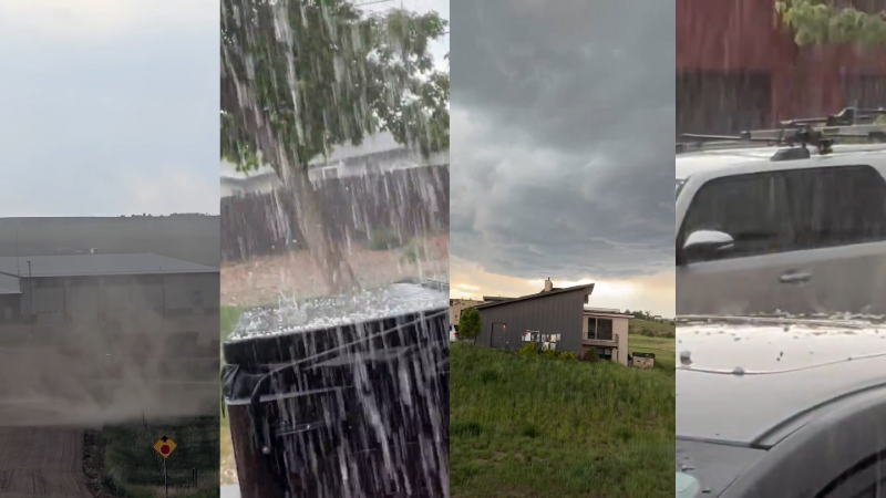


