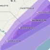
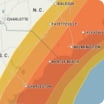
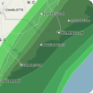
A winter storm is expected to impact the Houston area with cold air and a risk for freezing rain. Rain is forecast to transition to freezing rain and possibly sleet as temperatures drop to near or below freezing Saturday night. Even light ice accumulation can make bridges, overpasses and untreated roads hazardous. There can be localized power outages. Slippery spots will linger on Sunday morning as the storm moves out of the area.
Wind Flow
This interactive map provides a visual representation of wind speed and direction over the next 24 hours
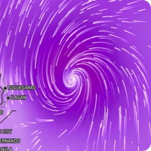
Maximum Sustained Winds
The projected maximum sustained winds of an active tropical system

Maximum Wind Gusts
The projected maximum wind gusts of an active tropical system
