As a weak storm moves quickly along from the Great Lakes to the New England coast, just enough cold air will be around to allow a period of snow in the Boston area on Wednesday night. Roads will be initially wet but may transition to slushy in some areas. Another storm is forecast to bring a period of more substantial snow from late Friday to Friday night. Slippery roads are more likely with this event. A third storm is possible later in the weekend to early next week.
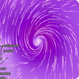
Wind Flow
This interactive map provides a visual representation of wind speed and direction over the next 24 hours
Maximum Sustained Winds
The projected maximum sustained winds of an active tropical system

Maximum Wind Gusts
The projected maximum wind gusts of an active tropical system
