Waves of severe storms to strike central, eastern US as heat dome builds
Extreme heat and severe thunderstorms are expected to build across the south-central U.S. next week with the potential for damaging derechos.
Chief Meteorologist Jon Porter demonstrates how the free AccuWeather app provides you with fast alert notifications to keep you informed ahead of time from looming severe weather threats in your area.
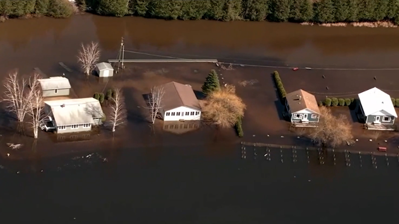
Warm, humid conditions across the central and eastern United States have made the region especially vulnerable to flash flooding. As a massive area of high pressure forms and strengthens, the rain will stop in some areas and arrive for the first time in a while for others, AccuWeather meteorologists say.
A massive area of heat will build over much of the southern U.S. into next week and beyond. As temperatures climb and downpours dwindle in the core of the heat, the risk of severe thunderstorms will increase on the edges of the heat dome, AccuWeather meteorologists warn.
As the ground dries out in the core of the heat, temperatures will trend upward.

Widespread highs from the mid-90s to low 100s Fahrenheit are forecast from the southern Rockies and interior Southwest through the southern Plains and portions of the lower and middle Mississippi Valley by next week.
Widespread AccuWeather RealFeel® Temperatures will range from 105 to 115 degrees next week during the afternoon hours over South-Central states. On the edges of the heat dome, particularly the northern and eastern sides, thunderstorms will be "active" at the very least.

Multiple rounds of thunderstorms, some that will organize into long-tracking complexes with heavy rain and gusty winds, will extend from the northern and central Plains to the Ohio Valley, southern Appalachians and perhaps right down to the southern Atlantic and northeast Gulf coasts next week.
Not only will this boost the potential for flash flooding, but some of the thunderstorm complexes can contain powerful wind gusts along a path for many miles. Some of the most potent and long-lasting thunderstorm complexes in the past, known as derechos, have occurred in such a pattern and are a concern with this setup.
In order for a derecho to be declared, the thunderstorm complex must have already covered 400 miles (about 650 km) with a width of at least 60 miles (about 100 km), according to a revised definition by the Storm Prediction Center (SPC). A derecho must include wind gusts of at least 58 mph or greater along most of its path with isolated gusts of at least 75 mph.
The complex that traveled across the Northern and Central Plains Friday night may continue or refire farther to the southeast in the Midwest on Saturday.

Even if none of the anticipated thunderstorm complexes evolve into a derecho, there can be significant risk to lives and property over a broad area of the Central states and parts of the East as the ring of fire lights up into next week.
In areas of the Central and Eastern states that have dodged downpours and need rain, this pattern could be a friend, but with the potential consequences of damaging winds and flash flooding. The same pattern may keep heat and/or frequent high humidity at bay for the northeastern corner and the northern tier of the Midwest.
Want next-level safety, ad-free? Unlock advanced, hyperlocal severe weather alerts when you subscribe to Premium+ on the AccuWeather app. AccuWeather Alerts™ are prompted by our expert meteorologists who monitor and analyze dangerous weather risks 24/7 to keep you and your family safer.
Report a Typo


