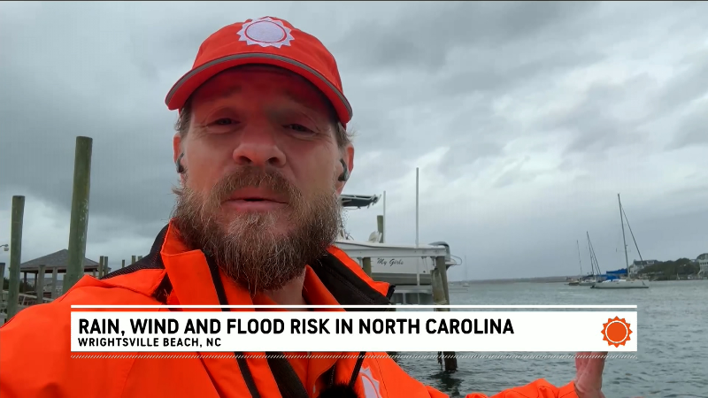
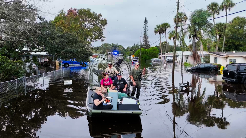
Isaias may spin up tornadoes, waterspouts as it tracks across the Southeast this weekend
Flooding rain and gusty winds are not the only concerns with Isaias this weekend. There is a risk of tornadoes as well.
AccuWeather’s Tony Laubach explains why there weren’t as many tornadoes as feared during Isaias’ landfall and how the risk is evolving.
Following Isaias making landfall along the central Gulf Coast, severe thunderstorms embedded in its rain bands could spawn waterspouts and tornadoes that track well inland.
Each storm carries a different tornado threat as it moves inland, depending on the storm’s structure and surrounding conditions.
"The combination of a zone of warm and humid air near the ground and a wedge of dry air at mid-levels of the atmosphere may pave the way for severe thunderstorms capable of producing tornadoes," AccuWeather Chief Meteorologist Jon Porter said.
The highest risk of tornadoes will be near and to the east and southeast of the center of the storm, but can extend out hundreds of miles, AccuWeather Chief On-Air Meteorologist Bernie Rayno said.

Those with outdoor events, such as college football games, should closely monitor the situation as conditions could change rapidly with the risk of severe thunderstorms.
From Sunday to Sunday night, as Isaias continues to move steadily along over the interior Southeast states, the risk of tornadoes will extend from South Carolina through much of North Carolina and into the Delmarva Peninsula.

There may be a short-lived tornado risk along part of the mid-Atlantic coast on Monday, but that threat should end quickly due to the swift eastward movement of Isaias, as a tropical rainstorm, before moving over the Atlantic.
Many of the severe thunderstorms capable of producing tornadoes may organize into one or two spiral bands from the Gulf and/or the Atlantic. Some tornadoes could be obscured by heavy rain. As these bands swing through a particular location, strong, straight-line wind gusts may occur instead of a tornado.
Along with the risk of tornadoes over the interior U.S., some of the more intense thunderstorms may produce waterspouts along the north-central and northeastern Gulf Coast, as well as the southern Atlantic Coast.


Want next-level safety, ad-free? Unlock advanced, hyperlocal severe weather alerts when you subscribe to Premium+ on the AccuWeather app. AccuWeather Alerts™ are prompted by our expert meteorologists who monitor and analyze dangerous weather risks 24/7 to keep you and your family safer.
Report a Typo