2024 Atlantic hurricane season is primed for storms with 'rapid intensification'
Rapidly intensifying tropical storms and hurricanes are especially dangerous because they can give the public less time to prepare and catch people off guard. Here's why AccuWeather meteorologists are concerned for 2024.
AccuWeather hurricane experts are concerned that storms could rapidly intensify during the 2024 hurricane season due to high ocean temperatures, low wind shear, and abundant moisture.
Along with the anticipation of an extremely busy Atlantic hurricane season, AccuWeather meteorologists are greatly concerned that conditions over much of the basin could have a significant number of storms that undergo rapid intensification. Where this occurs as storms approach land could greatly add to the risk to lives and property.
Rapid intensification is a term meteorologists use to define tropical storms and hurricanes that quickly gain strength. The threshold is at least 35 mph in 24 hours or less. This can affect how fast a tropical storm becomes a hurricane or a hurricane jumps one or more categories in less than a day's time.

This season, more than others, do not underestimate a hurricane's potential
Rapidly intensifying tropical storms and hurricanes are especially dangerous because they can give the public less time to prepare and often catch people off guard. Predicting a storm's peak intensity and its intensity at landfall is one of the most challenging aspects of weather forecasting, and a rapidly intensifying hurricane adds tremendously to that challenge.
"The general rule of thumb is that people prepare for one category up on the AccuWeather RealImpact™ Scale for Hurricanes or the Saffir-Simpson Hurricane Wind Scale to allow for fluctuation in the strength of tropical systems," AccuWeather Hurricane Expert Alex DaSilva said, "However, a danger exists when a tropical storm or hurricane is undergoing rapid intensification as the storm potentially could become much more powerful, dangerous and destructive than even that one-level buffer might account for."
The AccuWeather RealImpact™ Scale for Hurricanes considers many consequences a tropical system may have in addition to winds, such as coastal inundation, freshwater flooding, topography and the population affected. The Saffir-Simpson Hurricane Wind Scale accounts for a storm's wind intensity only.
The greater the population affected and the more dense of a population center, the more time is needed for preparations and mandatory evacuations, if necessary. A large, dense population center, such as New Orleans, may need at least 72 hours' notice in the event of a direct strike from a hurricane, according to NOLA Ready.
Unusually warm waters are a prime concern
"Key elements that we are focusing on for this year's busy hurricane season include the ramp-up of La Niña (in the Pacific), which allows for less disruptive wind shear in the Atlantic," DaSilva said. "But we continue to notice incredibly warm waters over much of the key development areas in the Atlantic."

When warm water is combined with low wind shear and abundant moisture, the ingredients for rapid intensification are in place. Not every storm will undergo rapid intensification, but when the conditions are in place, the chances of its occurrence are much higher.
The minimum temperature threshold for tropical development is about 80 degrees Fahrenheit. Many areas of the Caribbean, Gulf of Mexico, and southwest Atlantic are already above that threshold.
Sea-surface temperatures across the Atlantic Basin have never been higher in recorded history for this date than they are right now, DaSilva said. Generally, the ocean will continue to be warmed by the sun through August and into early September, aside from some temporary cool eddies that may develop.

"The fear is that as we enter the heart of the tropical season—from late August to early October—the sea-surface temperature may continue to eclipse last year's record-breaking season," DaSilva said. "The warmer the oceans are, the more favorable the environment will be for tropical development and rapid intensification."
The depth of the warm water is most important
As tropical storms and hurricanes pass over warm surface waters, the wave action produced by strong winds blowing on the ocean creates massive waves and upwelling, where water from the depths mixes with the surface. Most of the time, this will lead to the colder deep water cooling the surface water and then cause the intensity of a slow-moving hurricane to level off or weaken. When a hurricane moves quickly, this cool upwelling action is reduced as the storm will continue to encounter warm surface water.
AccuWeather meteorologists also look at the depth of the warm water or ocean heat content (OHC). The deeper the OHC, the less impact upwelling will have.

Currently across the zone from the south-central Atlantic to the Caribbean, the Gulf of Mexico and off the southeastern United States coast, the OHC is where it should be at the start of August -- far ahead of schedule.
"There is a patch in the Caribbean, near Jamaica, where 80-degree water reaches a depth of 600 feet this week," DaSilva said.
Atlantic Hurricane Ian from 2022 is a great example of a storm that moved over a high area of OHC and intensified rapidly. Ian underwent multiple rapidly strengthening phases, but the most significant one occurred shortly after the hurricane moved north of the coast of Cuba on Sept. 27.
On Sept. 28, Ian went from a 120-mph Category 3 hurricane to a 160-mph Category 5 hurricane in less than 24 hours before striking the southwestern Florida coast. The total number of lives lost is estimated at 161, with additional persons missing. Damage from Ian reached $113 billion, making it the costliest hurricane in Florida history.

This GOES-East GeoCcolor satellite image taken at 10:10 p.m. EDT on Tuesday, Sept. 27, 2022, and provided by the National Oceanic and Atmospheric Administration (NOAA), shows Hurricane Ian over the Gulf of Mexico. (NOAA via AP)
Another striking example of rapid intensification is Eastern Pacific Hurricane Otis from 2023. Otis underwent tremendous strengthening from a Category 1 (74-95 mph) hurricane at 7 a.m. CDT on Oct. 24 to a Category 5, 165-mph hurricane a mere 15 hours later at 10 p.m. Otis struck just west of Acapulco, Mexico, as a Category 5 storm during the early-morning hours of Oct. 25. At least 50 people lost their lives with at least 30 missing. Damage estimates range from $12-16 billion, making it the costliest Eastern Pacific Hurricane and the costliest in Mexico's history.
"This extent of warm surface water and high OHC is of great concern for the 2024 season as high OHC is like rocket fuel for tropical cyclones," DaSilva warned, "High OHC values can greatly aid storms in triggering rapid intensification."

The potential for multiple rapidly intensifying tropical storms and hurricanes for the 2024 season includes threats from near U.S. coast developing systems in the Gulf of Mexico and off the southern Atlantic coast, as well as for areas throughout the Caribbean and the southwestern Atlantic. Formation near land and rapid intensification near land are the two standout situations that can cause quick changes to the forecasts and risks.
What to think about if a hurricane is forecast to track to your location
AccuWeather Senior Meteorologist and long-time Florida resident Dave Houk had sound advice regarding hurricane preparedness.
"Staying up-to-date with the storm and following along with forecasts is the key to taking action and mitigating risks, as forecasts can change over time," Houk said. Residents and visitors need to have plans and preparations before the storm arrives, knowing what the "worst-case scenario" can mean for their area.
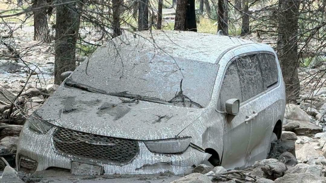
Storm surge inundation is the greatest danger people may experience during a hurricane. However, the stronger the hurricane winds or the faster a hurricane intensifies, the greater the potential magnitude of storm surge flooding and the chance that rising water may block a last-minute evacuation route.

A damaged causeway to Sanibel Island is seen in the aftermath of Hurricane Ian, Thursday, Sept. 29, 2022, near Sanibel Island, Fla. (AP Photo/Wilfredo Lee)
Houk stresses that people need to be aware of their surroundings, such as whether they are near the coast, a bay or a river, where a storm surge can lead to rapidly rising water in their location and escape route. For example, an elevation a couple dozen feet above sea level may be safer than one only a few feet above sea level.
"Proper planning and preparation prevent panic when a hurricane suddenly forms nearby or undergoes rapid strengthening," Houk said. "If ordered to evacuate, is the emergency kit prepared properly? Based on the forecast track of the storm, should evacuation to an area to the north, south, east or west be best for minimal impacts?"

For those who choose to ride out the storm, in addition to the potential for life-threatening rapidly rising water in the immediate neighborhood, there may be the risk of flying debris or falling trees damaging or destroying shelter-in-place dwellings. People should be prepared for great hardship without electricity and fresh public water for days after a hurricane strikes. Debris and displaced wild animals are additional safety concerns.


Want next-level safety, ad-free? Unlock advanced, hyperlocal severe weather alerts when you subscribe to Premium+ on the AccuWeather app. AccuWeather Alerts™ are prompted by our expert meteorologists who monitor and analyze dangerous weather risks 24/7 to keep you and your family safer.
Report a Typo