Mild Weather Coming to Boston
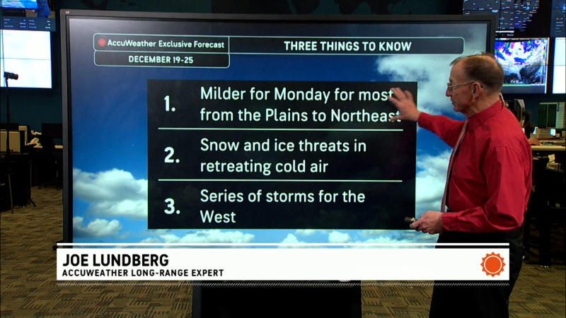
Much milder air is on tap for the Boston area through early next week as high pressure centered off the Carolina coastline takes firm control of the weather.
With high pressure located along the Eastern Seaboard through the middle of next week, a dominate southerly breeze will pump unseasonably mild air into the Northeast and mid-Atlantic regions through Tuesday.
A weakening cold front passing through late on Sunday night and early on Monday morning will bring a few showers to the area late on Sunday afternoon into Sunday night. However, this weak front will not usher cooler air into the area.
In the wake of the front, the winds will become southwesterly. These winds will transport the warm and even springlike air currently found throughout the Plains and Ohio Valley into the region for both Monday and Tuesday.
Afternoon high temperatures each day will be some 10-15 degrees above average in some locations. The warm air will be accompanied by a good deal of sunshine.
Another cold front will approach the Northeast and mid-Atlantic on Tuesday night and Wednesday morning, bringing another chance for showers.
Unlike the front which will pass through on Sunday night and early on Monday, a push of colder air from Canada will sweep across the region.
Temperatures will be mild to start on Wednesday, but they should steadily fall as the front marches on through. Temperatures should drop near to slightly below average through Friday as Canadian high pressure slides into the region.
Thumbnail photo courtesy of Photos.com.
Report a Typo


