Snowfall Map Update and a Note to my Readers
I updated the storm snowfall map for the Maritimes and Newfoundland.
Computer modeling has FINALLY come into some decent agreement with the track and temperatures with this storm for Wednesday and Wednesday night.
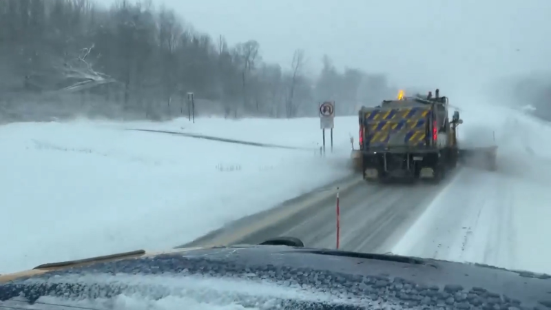
There will be a narrow band of heavy snowfall north of the storm track and right now it looks like the mountains of northern New England through Down East Maine, into southern New Brunswick, PEI and northern Nova Scotia will get the most.
Most of the above region should get a general 15-20 cm of snow, but some of the higher elevations could get as much as 25 cm or even a bit more than that. One negating factor for the heavier accumulations is that the storm will be moving very quickly, so it is going to have to dump at a heavy rate for a few hours.
Mostly rain will fall along the immediate south coast of Nova Scotia and over the southern Avalon, but you will not have to go too far inland before it mixes and changes to the heavy, wet snow.
With the slight southward shift of the heavier precipitation, it appears that most of the Montreal area, northern Maine and northern New Brunswick will just have minor accumulations or nothing.
-------
A heads-up for southwestern BC this weekend. Looks like a classic pineapple express setup. This will direct subtropical moisture right into Vancouver Island and the southwestern mainland Saturday before it shifts slightly toward western Washington sometime Sunday.
This type of pattern could lead to more flooding rainfall over the region with strong coastal winds. Snow levels will be fairly high, but where it does snow in the mountains, there will no doubt be significant accumulations and a high avalanche threat once again.
By the way, I am still counting on the main storm track to shift farther south into Washington and Oregon as we head into winter, leading to a drier, colder pattern over most of western BC.
I will have an update of the winter forecast around Dec. 1.
------------
A new chapter for me at Accuweather........
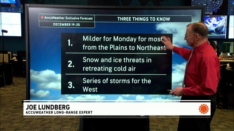
A few weeks ago, I took over the main graphic feature duties, ending many years of being primarily on the radio. While I will still be doing some radio work from time to time, my new job here at AccuWeather.com is very exciting for me.
My new job allows me to be more creative in the production of the dozens of graphic features that you see on a daily basis on AccuWeather.com, TV and mobile.
After agreeing on a consensus forecast among the meteorologists here at AccuWeather.com, the graphics features that you see everyday are initially handdrawn by the forecaster (that will be me on most days), then given to one of our talented graphics artists who create the final product that you see.
There will be no changes to my blog duties, though one advantage to my drawing the graphics is that I can quickly get them on to my blog. We will also have an increased graphics and news focus on Canada.
I will be out of the office for a few days as we have Thanksgiving here in the states. If you have any questions you can reach me at my email.
Still debating whether or not to start a Twitter account for the winter.
Be safe!
Report a Typo


