Cool Now, but Not for Long
Thursday morning
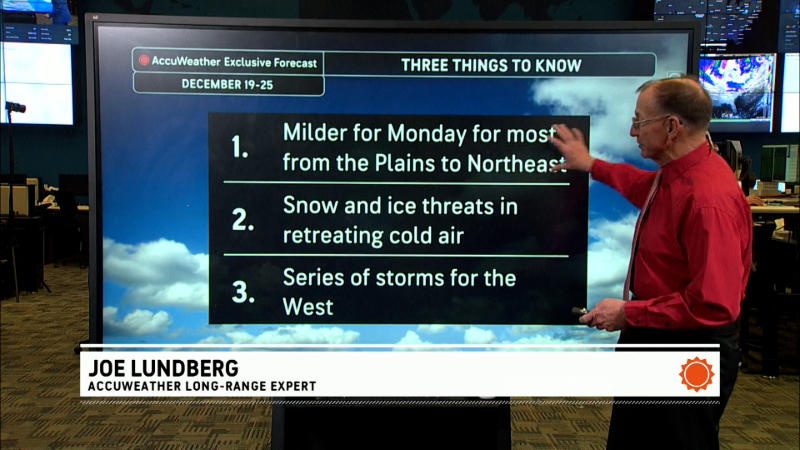
This video outlines the forecast for the Great Lakes and Northeast from now through early next week.
Meteorologists use a variety of weather maps to study patterns that affect day-to-day or minute-to-minute changes. One map is the 500mb chart. Below are two versions of the same map. One shows a contour interval of 60 meters, which is standard for this kind of map. However, what if you wanted to see more details. You could use a far smaller contour interval, in this case 5 meters (second map). When looked at this way, you can see two distinct flows in the East: one from the south with moisture and one from the west that is dry. There is a problem, however: the model solutions evolve over time, and as we get closer to next Monday afternoon (the time the forecast maps are using), the lines and orientations will probably change.
Report a Typo


