Weekend snow makes roads slippery in the mid-Atlantic and Northeast
A fast-moving snowstorm is sweeping across the Northeast Sunday, delivering the first accumulating snow of the season for some areas along Interstate 95.
A glacier in Antarctica’s Chiriguano Bay calved on Dec. 11, sending a large piece of ice crashing into the water in a dramatic scene.
A fast-moving weekend snowstorm is riding along the most intense wave of frigid air this December so far and will continue to bring hazards to streets and highways as well as delays at airports from northern Virginia to southeastern Massachusetts through Sunday.
By the time the storm ends later Sunday, 1-6 inches of snow will have accumulated along a 1,500-mile corridor from eastern Montana and the Dakotas through the Upper Midwest to the shores of southern New England.

The storm has already brought snow to much of Interstate 70 from Missouri to West Virginia. Snow will continue across the higher elevations of West Virginia and southwestern Pennsylvania as lake-effect snow picks up Sunday.
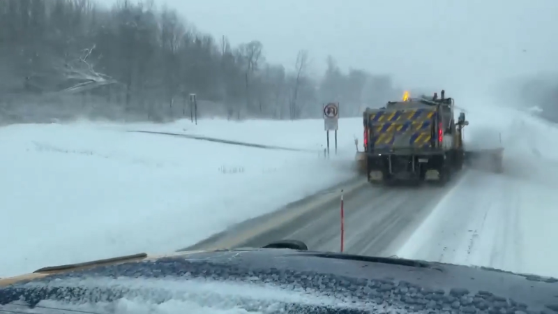
Temperatures dropped as the storm shifted east and any rain or wintry mix at the onset quickly changed to snow across the Northeast. Streets and highways will continue to rapidly transition from wet to slushy to snow covered and even to icy in some locations.
The most likely area for snow accumulations enough to shovel and plow will primarily be from just east of Baltimore through southeastern Pennsylvania and Long Island to Cape Cod, Massachusetts. This will put places along the I-95 corridor, such as Philadelphia and New York, right in the zone of highest accumulations.

Harsh Arctic cold follows weekend clipper storm
In the wake of the storm, temperatures are expected to plummet overnight through the weekend in the Midwest and by Sunday night in the East. Lows are projected to be well below zero in a large part of the Midwest, with some areas dipping into the double digits below zero. In the Northeast, lows will range from near zero over the Appalachians to the teens along I-95.
It will get cold enough to pose a risk of pipes freezing in unheated areas of the Southeast. This includes areas near the central Gulf Coast and southern Atlantic Coast, north of the Florida Peninsula.

Daily record lows will be challenged from the Midwest to the Southeast due to the coldest air since last winter and, in some cases, even colder than the entirety of last winter overall.
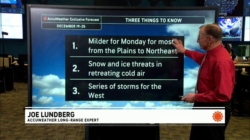
"If it is any consolation, the Arctic blast will leave quickly with the worst conditions only lasting a little over 24 hours," AccuWeather Senior Meteorologist Brett Anderson said. "A significant warmup is in store for much of the central and eastern United States next week."
Want next-level safety, ad-free? Unlock advanced, hyperlocal severe weather alerts when you subscribe to Premium+ on the AccuWeather app. AccuWeather Alerts™ are prompted by our expert meteorologists who monitor and analyze dangerous weather risks 24/7 to keep you and your family safer.
Report a Typo


