Millions brace for 'mother lode' of cold air, but a change is in sight for central, eastern US
Arctic air, rivaling the lowest temperatures of the polar vortex episode in recent weeks, will grip the Midwest and Northeast from this weekend to early next week.
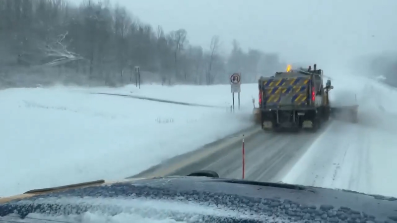
The season’s first accumulating snow is expected Saturday night from D.C. to Boston, with 1–3 inches likely as temperatures fall into the 20s, creating hazardous travel before a blast of the coldest air so far this season settles in Sunday.
Extremely cold air has been building in northern Canada this week. The air will roll southeastward into large parts of the central and eastern United States this weekend. However, AccuWeather meteorologists say some changes in the pattern will begin to unfold next week, which will uproot the coldest air from the United States before Christmas.
Much of this past week, "there has been a massive area of air in northwestern Canada where temperatures were 20-30 degrees below zero Fahrenheit," AccuWeather Chief On-Air Meteorologist Bernie Rayno said. "This is the mother lode of cold air and is a term I don't use lightly. It will expand into a large portion of the Central and Eastern states this weekend with little modification along the way."

The frigid air will be uncomfortable and potentially dangerous for people across the Plains to the Midwest, although temperatures may not be quite as extreme as they are farther north in Canada.
"The coldest air of the season so far is on the way for portions of the Midwest, Tennessee Valley and much of the Appalachians," AccuWeather Lead Long-Range Meteorologist Paul Pastelok said.
In Minneapolis, actual temperatures may fail to climb above zero Saturday and with low temperatures well below zero Saturday morning and Saturday night. AccuWeather RealFeel® Temperatures can drop 10-20 degrees or more below the actual temperature. "Exposure or those without shelter in these conditions, especially with blustery winds, can lead to hypothermia or frostbite in less than 30 minutes," Pastelok said.
Temperatures may barely reach the double digits in Chicago Saturday, then drop well below zero Saturday night. "The RealFeel® Temperature in Chicago is forecast to remain below zero all weekend," Pastelok said.

The upcoming Arctic outbreak and most cold blasts in recent weeks have been driven by a displacement or weakening of the polar vortex.
The dense Arctic air will hover in the lowest part of the atmosphere and may struggle to climb over the Appalachians. However, even in the areas east of the mountains from Washington, D.C., to Philadelphia, New York City and Boston, temperatures will approach or exceed the low mark reached during the middle of this week. Should a storm deliver the first accumulating snow of the season to these areas later this weekend, the stage could be set for temperatures to plummet east of the Appalachians as well.
“The frigid pattern triggered by the recent disruption of the polar vortex will hold its grip over much of the central and eastern U.S. into the start of next week," Pastelok said. "Millions of families will likely struggle with high heating bills, with furnaces, baseboards and heat pumps running frequently to keep homes warm in the harsh cold.” In unheated areas, there will be a risk of pipes freezing and bursting.
The brutally cold air will only stick around briefly. The worst of the cold will only last one to two days at the most.
Frigid conditions to ease before Christmas
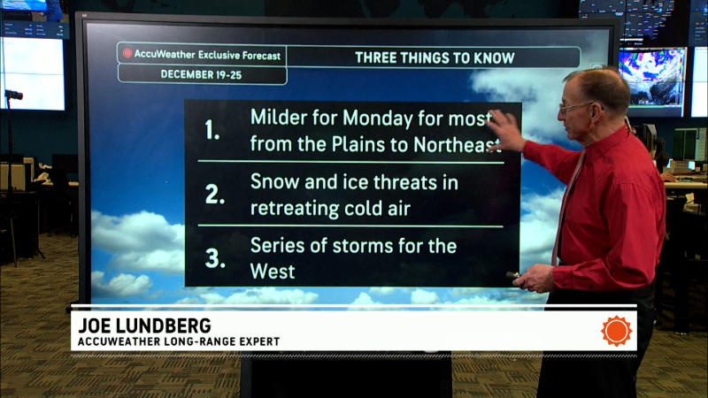
The weather pattern is expected to shift next week, adopting a more west-to-east orientation in the U.S. However, it may take some time for the coldest air to retreat, and there will still be some bursts of cold air in the Central and Eastern states, although they will not be as extreme as the mid-December Arctic outbreak.

“While it may feel like Christmastime already with the cold and snow, the bitterly cold pattern is not expected to last through the holidays," Pastelok said.
The vast snow cover still being added to by the clipper storm pattern through this weekend is likely to be eroded by higher temperatures before Christmas.

"Don't assume because it is cold and snowy now that it will be so on Christmas Day," Pastelok said. “Skiers and snowboarders should take advantage of the cold air and fresh powder at the slopes that are open now in the Appalachians. Ski and boarding conditions could deteriorate over Christmas week at some resorts as warmer air moves in.”
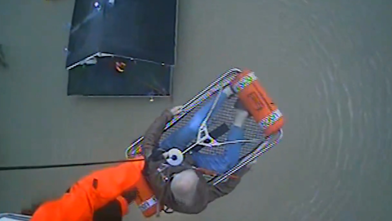
In the meantime, those wanting warmth or at least warm thoughts through this weekend can look to the Florida Peninsula and most areas west of the Rockies, except for foggy areas in California's Central Valley or flooded zones in western Washington.

Want next-level safety, ad-free? Unlock advanced, hyperlocal severe weather alerts when you subscribe to Premium+ on the AccuWeather app. AccuWeather Alerts™ are prompted by our expert meteorologists who monitor and analyze dangerous weather risks 24/7 to keep you and your family safer.
Report a Typo


