February frenzy: US to remain under winter storm siege
A frenetic weather pattern will send persistent winter storms across more than 20 states through the end of February, disrupting daily routines and causing cascading travel delays.
Joe Lundberg warns of a stormy week next week with snow and ice impacting the Plains and Northeast as well as thunderstorms rolling from Texas to the Carolinas. California will become stormy as well.
A frenetic weather pattern will send persistent winter storms across more than 20 states through the end of February, disrupting daily routines and causing cascading travel delays.
"It’s been a disruptive start to February, and this onslaught of winter storms is expected to stick around for most of the month," AccuWeather Chief Meteorologist Jon Porter said, adding that there would be "a February frenzy of storms every few days in many places."

AccuWeather’s team of long-range experts accurately predicted in September that February would be an exceptionally active month for winter weather impacts across the country, especially in the Northeast. "This forecast [from September] is unfolding as expected," AccuWeather Senior Meteorologist Joe Lundberg said.
The winter storm siege began last week as a storm unleashed snow, ice and slippery travel across the mid-Atlantic and Northeast from Wednesday night through Thursday. The same storm also caused damaging and deadly thunderstorms in Kentucky and Tennessee.

Another snow- and ice-producing storm moved through the Northeast this weekend, with as many as three additional storms anticipated over the course of the upcoming week and weekend.
One winter storm will move from the Central states to the Atlantic coast from Monday night to Wednesday morning. A winter second storm will track through the Central states from Wednesday night to Thursday and end up in New England by Friday. A third storm will swing through the Central and Eastern states this weekend.
"Snow and ice will abound from the southern Plains to the Northeast this week," Lundberg said. "To the south of that, there will be rounds of rain and thunderstorms, some of which can be severe."

By the end of next week, parts of the Southeast experiencing repeated downpours could receive over half a foot of rain, raising the risk of flooding.
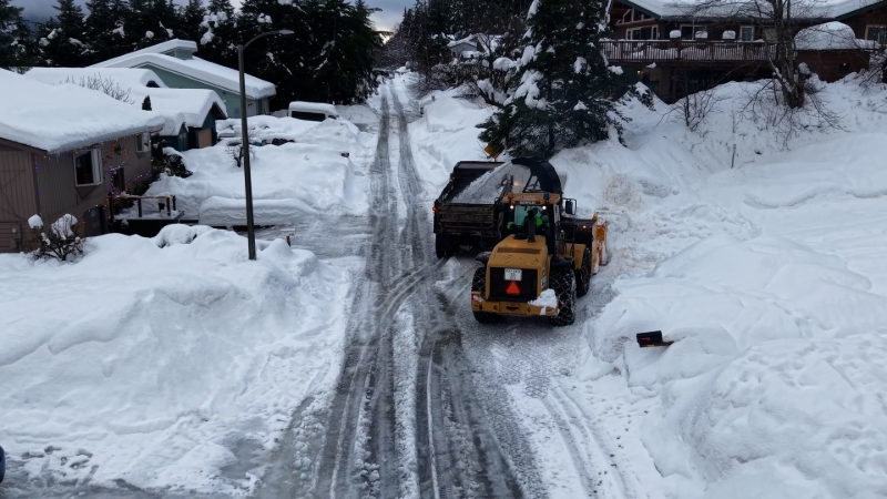
Farther north, plowing and salt-spreading measures will continue in full force as each storm brings its own suite of winter precipitation.
GET THE FREE ACCUWEATHER APP
•Have the app? Unlock AccuWeather Alerts™ with Premium+
The path of each storm will be crucial in determining whether areas along the Interstate 95 corridor in the Northeast will receive primarily snow, ice or rain. Early this week, the storm track is expected to shift farther south compared to this past week, increasing the likelihood of all snow rather than mixed precipitation in cities like Washington, D.C., Baltimore and Philadelphia.

By later this week and the upcoming weekend, the storm track is expected to wobble north again. This will shift snow and ice concerns into more of the northern Plains, Upper Midwest, interior Northeast and northern New England.
The barrage of storms will lead to widespread disruptions for millions from the Plains states to the Atlantic Seaboard, including hazardous commutes, school delays and cancellations, business and supply chain interruptions and travel delays at major airports. These disruptions may be intensified by the successive nature of the storms.

Most of the storms in the frenzy will concentrate moisture on the eastern half of the nation through the middle of February. However, one storm late week could deliver substantial rain to California, raising concerns about burn scar flooding in Southern California, before tracking eastward across the country.
Want next-level safety, ad-free? Unlock advanced, hyperlocal severe weather alerts when you subscribe to Premium+ on the AccuWeather app. AccuWeather Alerts™ are prompted by our expert meteorologists who monitor and analyze dangerous weather risks 24/7 to keep you and your family safer.
Report a Typo


