When Spring Turns to Winter
Monday, 12:05 p.m.
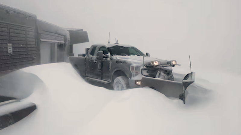
Winter officially ended at 7:21 Sunday evening. Well, it did end astronomically. Try telling that to those residing from the Poconos into New England today, where it has snowed and will snow some more this afternoon before ending with the passage of low pressure off the New England coast.
This is merely a warning shot fired by Old Man Winter that he's not going down without a fight. There is PLENTY of cold air lying in wait across Canada, and chillier air will bleed southward behind this storm into the Great Lakes and Northeast this afternoon and tonight. It will be cold enough across portions of the northern Plains and Upper Midwest tomorrow night that when the next storm passes by to the south, it'll snow in those areas, too.
Snow will fall again tomorrow night into Wednesday over the interior Northeast as the storm is forced to cut south of New England. Areas from northeastern Pennsylvania and at least the southern tier of New York over to interior southern and central New England could be looking at more than a half of a foot of snow from that second storm, with some 'lollipop' amounts closer to a foot over the higher ground.
Then it will get COLD! Yes, up to this point, we're only going to see a little piece of the arctic air that's trying to come southward from central and northern Canada, so once this storm moves off the Northeast coast Thursday, it'll be free to spread farther south.
Now as we make this transition from a pattern with still a lot of warm air in it from the central and especially southern Plains into the Ohio Valley and the southern mid-Atlantic region, we're going to have to deal with some severe weather. To that end, here's the morning video:
With spring seemingly reverting back to winter for a time, not only are we going to see it much colder than normal throughout the Northeast and mid-Atlantic back to the northern Plains and Midwest, but there will be more opportunities for snow north of the track of any storms coming along in this pattern. One such system is on the playing field for this weekend, as a matter of fact, though the GFS and Canadian are at odds with the European on this matter. The latter will bring high pressure out of Canada into the Midwest and the Great Lakes and will effectively squash any storm threat way to the south, while the other two bring a system from the central Plains almost due east, with areas along and north of I-80, at the very least, at risk for accumulating snow.
There are rumors of an even bigger storm a little farther south to open up the month of April! I won't even deal with those at this point, except to say that I've seen it snow, and snow HARD in early April on several occasions before, so don't be totally shocked by this rather dramatic turn of events. However, an interesting thought comes to mind. With the opening of the baseball season slated for the first weekend of April, I wonder if some games are going to be lost to cold and/or snow?
Report a Typo