Thousands of lightning strikes spark new wildfires across Oregon
The AccuWeather Lightning Network detected more than 3,600 lightning strikes Wednesday within a 100-mile radius of Juniper Canyon in Central Oregon.
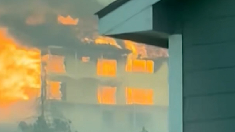
A massive wildfire continues to spread in Oregon on July 23.
Thousands of lightning strikes are complicating wildfire response efforts across Oregon, sparking new fires as crews work to contain several large blazes already burning across the state.
The AccuWeather Lightning Network detected more than 3,600 lightning strikes Wednesday within a 100-mile radius of Juniper Canyon in Central Oregon.
Firefighters responded to at least 24 new fires Wednesday and continued investigating additional smoke reports after thunderstorms moved across the region. Officials had initially reported more than 2,000 lightning strikes over a 72-hour period, but AccuWeather data indicates the total number of strikes in parts of Central Oregon was significantly higher.

Smoke from the Rowe Creek Complex Fire burning in Central Oregon in July 2026. (Image credit: Oregon Fire Marshal)
Lightning can ignite vegetation immediately or smolder underground and inside trees for several days before a wildfire becomes visible. These delayed starts, known as holdover fires, can emerge after temperatures rise, humidity falls or winds increase.
One wildfire near Sisters even generated its own weather Wednesday. A pyrocumulus cloud formed over the fire and produced lightning, according to Central Oregon Fire Information. Pyrocumulus clouds develop when intense heat forces smoke and moisture high into the atmosphere. When the cloud grows large enough, it can produce strong winds, lightning and rapidly changing fire behavior.
The lightning-caused Rowe Creek Complex, which started July 15 near Fossil, burned 149,976 acres and was 28% contained as of Thursday morning. The complex includes several fires across Wheeler, Wasco and Crook counties with the Crosswhite Fire accounting for more than 132,700 acres.

The Rowe Creek Complex Fire burning in Central Oregon in July 2026. (Image credit: Oregon Fire Marshal)
Crews reported increased fire activity Wednesday as strong winds and thunderstorms passed over the region, although rainfall helped alleviate some of the dry weather conditions overnight. Dry, warm and windy weather was expected to support elevated fire behavior into the weekend.
Level 1, 2 and 3 evacuation notices remained in effect for communities near the active fires in Wheeler and Wasco counties. Firefighters were also continuing structure-protection work near Burnt Ranch Road, Cougar Mountain Road and Highway 26.
The fires have forced widespread public-land closures. Bureau of Land Management property along both sides of the John Day River was closed from Service Creek to the Columbia River while the Clarno and Painted Hills units of John Day Fossil Beds National Monument were also closed.
Additional wildfire danger will persist across parts of Oregon, Washington and Idaho as thunderstorms, low humidity, gusty winds and intense heat overlap. Red flag warnings were issued in parts of the Northwest for lightning and critical fire weather, while heat advisories included areas where temperatures could approach or surpass 100 degrees Fahrenheit.
Report a Typo