Severe weather outbreak may spawn a couple of 'strong' tornadoes this weekend
An outbreak of severe thunderstorms that includes the likelihood of a few tornadoes will focus on the lower Mississippi and Tennessee valleys into Saturday evening.
Storms may be briefly severe farther to the north over the Ohio Valley, but due to rain-cooled air, the chance of a tornado occurring is significantly lower than that farther to the south.
AccuWeather meteorologists have been concerned for an outbreak of severe weather over the south-central United States since the start of the week and now that concern is being realized.
People are encouraged to closely monitor this situation in the severe weather threat area and building warmth during the day enhances the storms. Download the free AccuWeather app to stay alert to the latest forecast and severe weather watches and warnings.
"This is likely to be a kitchen sink severe weather situation where the storms will be capable of bringing everything from frequent lightning strikes and brief strong wind gusts to flash flooding, large hail and even a tornado," according to AccuWeather Storm Warning Meteorologist Ali Davis.
Into Saturday evening, severe thunderstorms are likely to extend from northeastern Texas to Kentucky.

"We believe there will be a few tornadoes and of these a couple may become strong," Ali said.
The time of the year, location and anticipated weather conditions with surging warm, moist air and strengthening winds aloft are some of the key ingredients that are likely to contribute to isolated tornadoes and highly localized strong tornado formation.
"We suspect most of the storms will congeal into a solid squall line that advances eastward across the middle and lower Mississippi Valley and progresses eastward during Saturday evening," Ali said.
"However, there will be some isolated severe thunderstorms that occur ahead of this main line," Ali said.
It is in these leading, isolated severe thunderstorms where the greatest risk for a small number of strong tornadoes exists although there can still be brief spin-up tornadoes along the main squall line.
The risk of severe weather and tornadoes will extend after dark on Saturday, which will add to the danger.
In addition to closely monitoring the severe weather situation by all means possible, it is essential that residents and visitors have a plan of action in place ahead of severe weather warnings.
Short of an outbreak of tornadoes, it only takes a single tornado to rip a path of destruction and cause fatalities in populated areas.
Motorists traveling on area interstate highways should be especially aware of their surroundings. It is possible that some of the violent straight-line winds and tornadoes capable of tossing vehicles may be concealed by heavy rain.
The storms will begin to lose intensity later Saturday night from central Alabama to southeastern Ohio. However, storms along this swath may still be severe at the local level with strong wind gusts and heavy rainfall.
By Sunday, the thunderstorms are expected to be well past their peak intensity as they enter the Southeastern states.

However, a broken line of heavy, gusty thunderstorms is expected to re-fire somewhat and/or advance in this region including in communities that were devastated by tornadoes a week ago.
The storms are forecast to extend from south-central Alabama to eastern North Carolina.
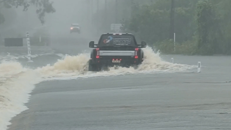
The main threats from the storms will be frequent lightning strikes, strong wind gusts and isolated flash flooding.
As is often the case during March, the next severe weather threat is on the horizon.
This time, the first storms may erupt in areas of building drought over the High Plains of Texas, Oklahoma and Kansas.