Disruptive northeastern US snowstorm to continue into Monday
A woman was recently rescued after a snowplow in South Lake Tahoe, California, reportedly bumped into her buried car, which was illegally parked on the side of a street.
For the latest updates on the winter storm as it tracks eastward from the central Plains, please visit this news story.
<hr>
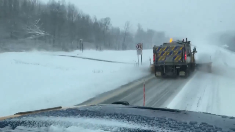
Major travel disruptions are anticipated as a significant snowstorm continues to unload heavy snow across much of New England into Monday.
A state of emergency has been declared in New Jersey, hundreds of snowplows are being utilized in New York City and some states have instituted travel restrictions as the winter storm descends on the Northeast.
Travel problems are also expected to continue mounting into Monday morning as snow continues across New England. Schools that are scheduled to be open on Monday may have delays or closures.
"While snow totals from this storm diminished across the Ohio Valley as the storm tracked eastward from the central Plains, heavy snow has ramped back up across the Northeast," according to AccuWeather Senior Meteorologist Kristina Pydynowski.
Over six inches of snow fell in Allentown, Pennsylvania, and across other parts of eastern Pennsylvania and northern New Jersey on Sunday night.
The swath of 6-12 inches of snow is forecast to extend from Boston to Portland and Bangor, Maine, into Monday. Snow totals can also approach or exceed 6 inches in Providence, Rhode Island.

An AccuWeather Local StormMax™ of 16 inches is expected and most likely to occur in Down East Maine. However, the fast, forward motion of the storm should cap the snowfall to near a foot in most areas in the heavy snow swath.
Motorists should prepare for changing conditions as roads turn from wet to slushy to snow-packed and slippery with decreasing road temperatures into Monday morning.
"This will be a quick-hitting snowstorm that may only affect communities for six to 12 hours," according to Pydynowski. "At the peak of the storm, snow may fall at a rate of 1-2 inches per hour from eastern Pennsylvania and points northeastward."

Travel will become extremely difficult during the height of the storm where the heaviest snow band sets up. The snow may pile up fast enough to strand some motorists.
"The heavy, wet nature of the snow can weigh down some trees and cause power outages and will make shoveling difficult," Pydynowski added. "Be sure to take frequent breaks, and those with heart issues should seek out the assistance of others to clear their sidewalks and driveways."
"Rain can also mix with the snow for a time from Long Island to Providence, Rhode Island, but significant snowfall and travel disruptions are expected to win out," Pydynowski said.
Enough cold air will remain in place to prevent snow from changing to rain in Boston.
The combination of the heavily falling snow and gusty winds near the coast can further reduce visibility for motorists.
"More of a wintry mix may limit snow amounts around Cape Cod, Massachusetts," according to Pydynowski.

Following rain during the storm, a rapid freeze-up is likely over the southern Appalachians into Monday morning as colder air arrives behind the storm.
Download the free AccuWeather app to see the latest forecast and weather advisories that may be in effect for your location.

As a lobe of the polar vortex wobbles toward the Great Lakes region in the wake of the storm, Arctic air will blast in from the Midwest early this week.


