Band of snow, ice to create hazardous travel from Texas to Arkansas
There are many accidents on winter roads each year. It's always better to stay home than brave dangerous roads, but if you must drive, a little caution can go a long way.
Old Man Winter is dealing a swath of snow and ice across the south-central United States into Saturday evening.
The storm has the potential to bring enough snow and ice to shut down travel for a time over part of the southern Plains and slow down travel in part of the middle Mississippi and Tennessee valleys.
The weight of the wet snow and ice may bring down trees, which can lead to power outages on a regional level.
Shipping originating from, passing through or ending up in this area may be adversely affected.
Download the free AccuWeather app to see how the storm is likely to affect your area.

Snow, ice to sweep through southern Plains
Ice or a wintry mix will be a major part of this storm across portions of northern Texas, Oklahoma and Arkansas.
Some of the hardest hit areas in terms of ice and/or snow are likely to be in part of northwestern Texas and the Ozark Mountains in northwestern Arkansas and eastern Oklahoma.
Where little or no sleet and freezing rain mix in, 6 inches of snow or more could fall.
Over 10 inches of snow were reported at the National Weather Service office in Lubbock on Saturday morning.
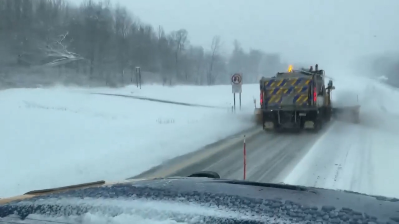
The snow is leading to treacherous conditions on the roadways.
In part of the mix zone, the storm may begin as rain, then transition to ice and snow or alternate between all three forms of precipitation as colder air arrives.
Cities that are forecast to be dealt a wintry mix include Oklahoma City; Fort Smith, Arkansas; and Wichita Falls, Texas.

"While a few inches of snow may not seem like much, the combination of snow, sleet and freezing rain can be extremely difficult to remove and very dangerous to venture through," according to AccuWeather Meteorologist Maggie Samuhel.
The event may end as snow or a wintry mix around Little Rock, Arkansas, on Saturday afternoon and night.
Rain expected to lead to flooding in Deep South
Farther south, rain is expected to be heavy enough to cause urban flooding across the South.
It may be best for timeliness and safety for cross-country shipping and travel interests to seek an alternative route farther north, such as I-70 or I-80, or south such as I-20 or I-10, even though there will be some rain-related delays across the Deep South. Most of the flooding problems will be limited to underpasses and secondary roads.
Snow and ice to dab at Tennessee, but focus farther East
East of the Mississippi River, the storm will continue to produce a swath of ice and snow on its northern flank.
A period of freezing rain, sleet and snow is anticipated over portions of Tennessee and southern Kentucky.
Expect slippery conditions for a time around Nashville, Knoxville and Memphis, Tennessee.

However, the heaviest snow and ice will be over southern Virginia and North Carolina.
The worst of the wintry side of the storm in the Southeast states is likely to focus on parts of the I-77, I-81 and I-85 corridors.
"The effects of the multi-faceted storm, in particular, power and travel, may linger for days in some areas after the last flakes and bits of ice occur," Samuhel said. "Many of the areas set to receive snow and ice from this storm are ill-equipped to handle a small amount, let alone the amount anticipated from this storm."

TradeWx offers protection against financial risks of snow accumulation and other weather events. Learn more on TradeWx.com.


