Alberta's photogenic tornado... or was it?
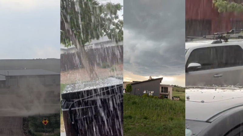
Video of this photogenic tornado hit the media circuit in Alberta, Canada last night, thrilling photographers in the province, and around the world via Social Media.
This incredible video was shot out of Three Hills, Alberta. There were reports of damage, but no injuries as of yet.
Was it a tornado? "Of course" the average person would say, and in fact this is true for the general public. Seasoned storm chasers, though, weren't sure. Long-time chaser Skip Talbot said on Facebook he believed it was a landspout (a weak vortex formed on the edge of an outflow boundary). However, tornado expert Charles "Chuck" Doswell reminded us: "This video provides no information about the storm prior to the tornado" -- meaning if the storm had the structure of a supercell thunderstorm up to this point, it would be hard to argue against it being a "regular" tornado.
Then a time-lapse was presented:
I think the jury's still out (there weren't a lot of comments after the time-lapse). Here's what the satellite and radar looked like through the event.
The radar data as portrayed here is not as high resolution as in the U.S. but it appears to show a possible hook echo around the time of the video. Looking closer with local radar data:
That looks like a supercell thunderstorm with a hook echo to me, and a larger mesocyclone circulation within the thunderstorm, but I'm no storm chasing expert. The Weather Network (Canada's Weather Channel) has more phtoographs of the storm and says that Environment Canada has given the tornado a rating of EF-0 due to the minor damage it caused. In the end, it could be a hybrid storm and it doesn't really matter to the average Netizen it was just a jaw-dropping storm.
Report a Typo