Summery, then Back to Spring
Monday 10 a.m.
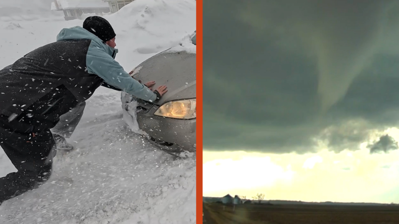
The storm and frontal system that produced the weekend tornado outbreak in the Plains is weakening as it moves into the East. In fact, we suspect that few, if any, showers reach the I-95 corridor. With a storm over the Atlantic blocking the way for a ridge that;s just off the East Coast, the cold front will stall. A band of showers from the Southeast may advance into the Middle Atlantic states for a while on Wednesday. The video has more. The video below is a map depicting the extensive area that was subjected to lightning yesterday and last night.
Report a Typo


ABOUT THIS BLOG
Northeast US weather
Leading forecaster and meteorologist Elliot Abrams provides regular updates and analysis on on Northeast weather.


