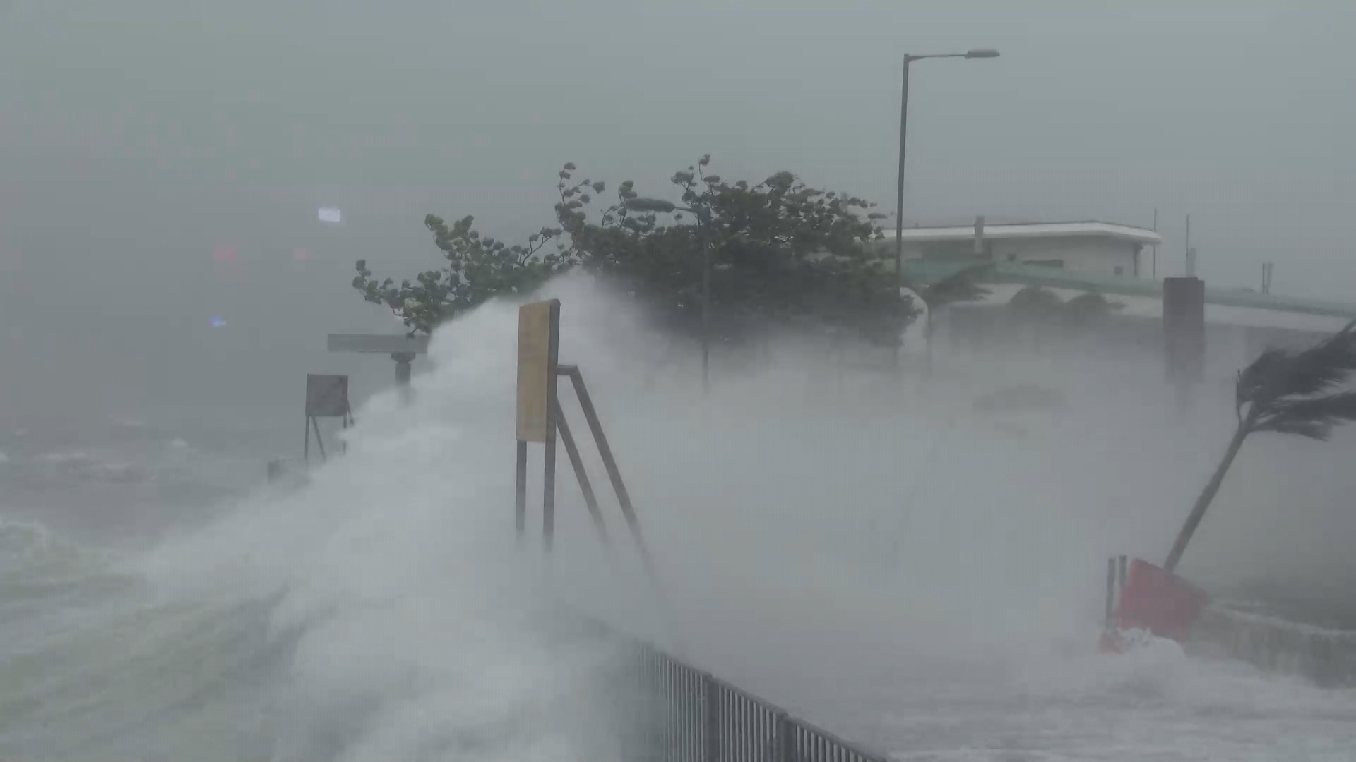
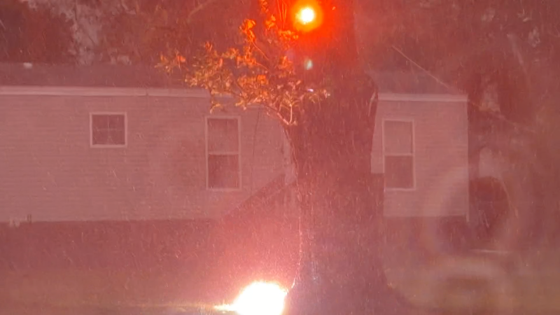
Edouard will continue to lose wind intensity as it tracks northwestward over eastern Texas into Thursday. However, enough moisture will remain to bring some showers and thunderstorms to the Dallas-Fort Worth area from Wednesday night into Thursday, resulting in slick travel.
While excessive rain is not forecast in the Metroplex, rainwater mixing with oil and pollutants that have built up on area roads during weeks of dry weather will create extra-slick conditions. Much of the area has not received measurable rain since mid-July. The heaviest rain and greatest flash flood risk will be southeast of the metro area, but enough rain can fall to cause ponding on some roads. Extra caution is advised.
Hourly Wind Speeds
Wednesday, 3 PM - Wednesday, 5 PMWind Flow
This interactive map provides a visual representation of wind speed and direction over the next 24 hours
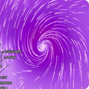
Maximum Sustained Winds
The projected maximum sustained winds of an active tropical system
Maximum Wind Gusts
The projected maximum wind gusts of an active tropical system