Wind Flow
This interactive map provides a visual representation of wind speed and direction over the next 24 hours
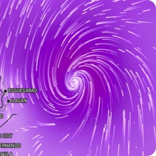
Maximum Sustained Winds
The projected maximum sustained winds of an active tropical system
Maximum Wind Gusts
The projected maximum wind gusts of an active tropical system

Show more
Show less
Hurricane Preparedness
See More
Risk to Life and Property
Rainfall
Max Sustained Winds
Max Wind Gusts
Storm Surge
Wind (mph)
<20
20
30
40
50
60
70
>70
