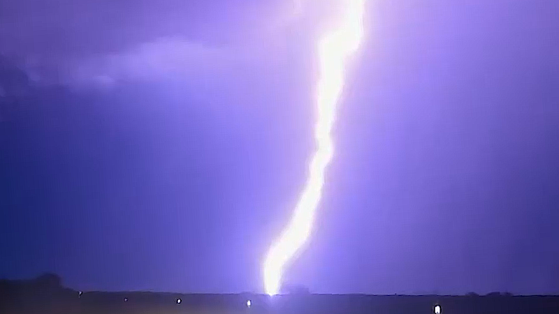
Severe thunderstorm risk to ramp up across the Central states
Dangerous complexes of thunderstorms capable of producing damaging wind gusts are expected from the northern Plains through the Midwest next week
AccuWeather Severe Weather Expert Guy Pearson breaks down the severe weather threat brewing in the Midwest this week, which can bring damaging winds, flash flooding and tornadoes.
In the wake of a July lull of severe weather across the Midwest and northern Plains, the pattern could turn volatile heading into the final days of the month.
AccuWeather meteorologists have highlighted a zone across the northern Plains and Upper Midwest that is expected to feature feisty thunderstorm activity.

The heat dome that has baked the western United States for most of the summer will undergo a shift and realignment early this week, bringing scorching temperatures into the southern and central Plains. This shift in the core of the heat dome will then play a major role in fueling rounds of severe thunderstorms over a multi-day stretch.
“The weather pattern this week is expected to feature similar characteristics to what was observed back on July 15 across the Midwest, which ultimately ended up producing a powerful derecho across Iowa and northern Illinois,” AccuWeather Senior Meteorologist Adam Douty stated.
Multiple storm complexes kicked off across the Midwest on Monday evening bringing damaging wind gusts, torrential downpours and even a few tornadoes. Thunderstorm activity from Monday night will bring drenching rainfall across portions of the Ohio and Tennessee River valleys on Tuesday.
The next complex of thunderstorms embedded within the storm train will likely be hot on the heels of its predecessor, firing up across the northern Plains and Upper Midwest Tuesday afternoon into Tuesday night.

AccuWeather meteorologists have already highlighted a heightened risk in anticipation of Tuesday’s thunderstorm activity, with the concern that thunderstorms could produce wind gusts approaching the AccuWeather Local StormMax™ of 95 miles per hour.
Spanning a swath from the Dakotas into Indiana and Kentucky, residents should be prepared for intense thunderstorm activity. These powerful thunderstorms have the potential to roll right through the nighttime hours, posing additional risks and a heightened need for residents to have a way to receive crucial and potentially life-saving warnings if they are issued.
The caboose of the storm train across the central United States is expected to pass through the same areas once again between Wednesday and Thursday, again bringing a risk for powerful complexes of thunderstorms. Flash flooding and even renewed river flooding concerns can increase by midweek, especially in areas with multiple rounds of thunderstorm activity.

Isolated spin-ups will be possible as storms pulse across the Midwest Wednesday to Thursday night. Forecasters have highlighted a zone from the South Dakota-Minnesota border to the northwest corner of Illinois as a "moderate" risk area for severe thunderstorms to develop on Wednesday.
Storms will shift farther east through the Ohio Valley from Thursday to Thursday night, projected to impact cities from Indianapolis to Louisville, Kentucky, and Pittsburgh.
While the active pattern for severe thunderstorms may ease for a time late this week, the risk of dangerous thunderstorm complexes may not be off the table heading into the first half of August.

Want next-level safety, ad-free? Unlock advanced, hyperlocal severe weather alerts when you subscribe to Premium+ on the AccuWeather app. AccuWeather Alerts™ are prompted by our expert meteorologists who monitor and analyze dangerous weather risks 24/7 to keep you and your family safer.
Report a Typo


