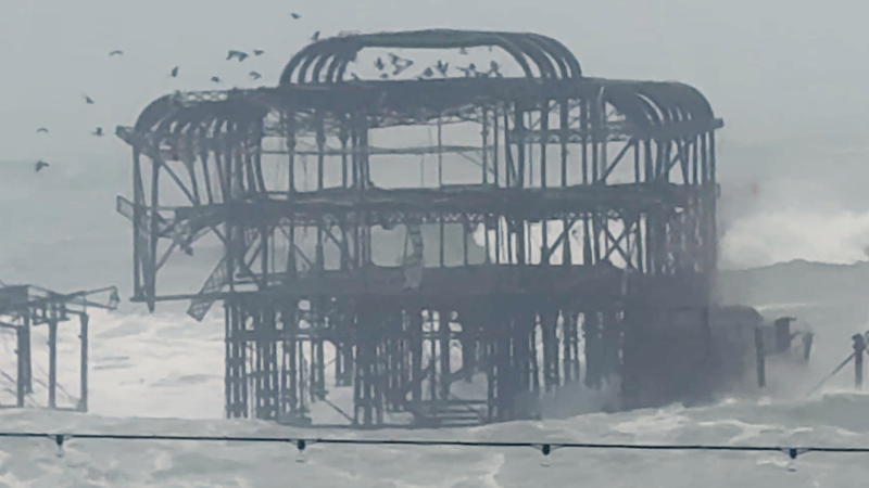
Josephine to brush Canada; new storm near Florida is next to watch for tropical development
As Josephine departs by way of the North Atlantic into the weekend, a new tropical threat may arise farther south with building seas, surf and other coastal concerns from Florida to the Carolinas through next week.
Bernie Rayno breaks down where tropical development could occur and why.
As Josephine departs by way of chilly Canadian waters, a new storm may slowly brew in warm seas east of Florida with the potential for tropical development.
Tropical Wind and Rainstorm Josephine moving into colder North Atlantic
The former nor'easter gained some tropical characteristics while over the warm waters of the Gulf Stream this week, allowing it to become a named storm — the 10th of the 2026 Atlantic hurricane season.

Josephine strengthened to a subtropical storm on Wednesday while hovering off the mid-Atlantic coast.
As the storm accelerated over colder waters, Josephine transformed into a tropical wind and rainstorm late Thursday. The storm is tracking close enough to bring wind, rain and some snow in parts of coastal Atlantic Canada to end the week.
The AccuWeather RealImpact™ Scale for Hurricanes for Josephine in Canada is less than one. This six-point scale, from less than one to 5, factors in not only wind impacts, but also the effects of the storm's rain, storm surge and beach erosion, as well as the impacts on lives, property and commerce. The Saffir-Simpson Scale only factors in a hurricane's maximum sustained winds.

Seas and tides will gradually ease along the New England coast into Friday evening.
Josephine is forecast to merge with a non-tropical storm this weekend and may later reach the United Kingdom, adding to adverse weather conditions early next week.

Another Atlantic storm could prolong hazards along southeast U.S. coast
The pressure difference between a broad area of stormy conditions near the Bahamas and high pressure over the eastern U.S. will strengthen northeasterly winds along the coast. Its coastal impacts will ramp up through the weekend and continue into next week.

Building seas will bring large breaking waves and dangerous rip currents to beaches from South Carolina to South Florida beginning on Friday.
Storm near Bahamas could become tropical later next week, extending coastal hazards

As stormy conditions persist farther to the south, near the Bahamas, through next week, the risk of tropical development will increase.
Dangerous surf will persist along the southeastern U.S. coast from this weekend through next week, whether or not the storm becomes tropical.
Repeated high tides and persistent onshore winds will prolong beach erosion, while coastal flooding will increase through the weekend into early next week. Higher tides associated with the full moon will combine with storm-driven water levels to increase coastal flooding this weekend into early next week, including in Miami and Charleston, South Carolina. Some of the highest astronomical tides of the year, known as king tides, are possible.

Depending on where that storm forms in proximity to the southeastern U.S. coast next week and its intensity, seas, surf and coastal flooding could significantly worsen.
The next name to be used this hurricane season is Kyle. However, even a strong, slow-moving non-tropical storm can lead to significant weather impacts with disruptions to travel and outdoor activities.
If the storm is large enough or hovers close enough to the Florida or Georgia coasts, it could produce heavy rain well to the west in these two states. Torrential downpours and gusty thunderstorms would impact the Bahamas and Cuba.

Beachgoers and small-boat operators along the southeastern U.S. coast should monitor local forecasts and heed advisories and warnings through next week. Stay out of the water when dangerous surf or rip currents are present, as most beaches do not have lifeguards on duty this time of the year.


Want next-level safety, ad-free? Unlock advanced, hyperlocal severe weather alerts when you subscribe to Premium+ on the AccuWeather app. AccuWeather Alerts™ are prompted by our expert meteorologists who monitor and analyze dangerous weather risks 24/7 to keep you and your family safer.
Report a Typo