Long Range Update into Early January
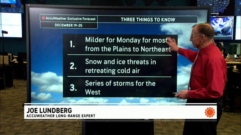
Here is my latest long range forecast interpretation that now goes out into the first week of the new year....
Latest indications are that the cross-polar flow, which has been delivering the unseasonably cold, Arctic air deep into the western two-thirds of the country will slowly shut down for the second half of the month.
I will have a post about the short range forecast concerns on Friday.
FYI, I will be out of the office and away from the weather maps/models Saturday through all of next week so there will not be any posts on this blog during that time.
Report a Typo
ABOUT THIS BLOG
Canadian weather
Brett Anderson covers short-term and long-term weather and storm forecasts for Canada.


