Extreme Warmth and also Snow
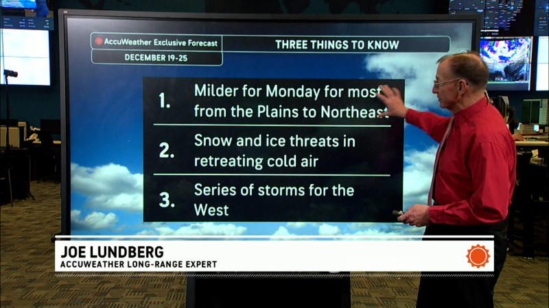
Pattern of extremes through next week, with incredible warmth from the Prairies into eastern Canada, while colder and stormier weather impacts the West.
In the meantime, a storm will track into the Gulf of Maine Wednesday, and with just enough cold air to the north, there will be a band of accumulating snow from eastern Quebec to the Maritimes Tuesday night through Wednesday night.
-------
Incredible warmth continues through the weekend and likely into next week!
The jet stream will remain far to the north over Hudson Bay through the weekend, which will allow May-like warmth to cover a huge area from the U.S. Midwest through the eastern Prairies and Ontario.
In this region, average temperatures this weekend will be as much as 8 to 14 C warmer than what they normally are at this time of year.
The bad side to this is that any early flowering plants or trees that emerge over the next 7-14 days could very well be in danger (hard freeze) if the pattern just goes back to normal.
Report a Typo


