Typhoon Uwan strikes flood-weary Philippines equivalent to a Category 4 hurricane
After deadly flooding in the Philippines, a newer, stronger typhoon is on its way
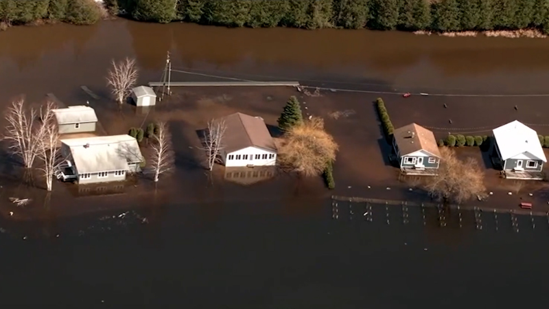
Typhoon Kalmaegi has left the Philippines devastated as people begin to pick up the pieces left behind as of Nov. 6. Search and rescue missions are under way with more than 100 fatalities confirmed.
Parts of the Philippines were devastated by deadly flooding Tuesday from Typhoon Kalmaegi, known as Tino in the country, and now another typhoon is impacting the region. The current storm, Typhoon Fung-wong, is also known as Uwan in the Philippines.
Much stronger than Kalmaegi/Tino, Typhoon Fung-wong/Uwan reached the equivalent of a Category 4 hurricane on the Saffir-Simpson Hurricane Wind Scale just prior to commencing landfall in the northern Philippines Sunday.
The combination of heavy rain, strong winds and coastal flooding will result in Fung-wong/Uwan being a 5 on the AccuWeather RealImpact™ Scale for Tropical Cyclones in the northern Philippines, the strongest rating on the scale.

Fung-wong/Uwan, intensified to a very strong typhoon as the storm approached the northern Philippines on Sunday. Fung-wong will continue to track in a general west-northwest direction through Monday, local time, crossing west of the northern Philippines into the South China Sea. An eventual turn to the north and northeast is forecast by the middle of the week.
This turn can result in the storm impacting Taiwan this week. Into midweek, the storm is expected to lose wind intensity and transition to be equivalent to a tropical storm by the time it approaches Taiwan from the west.

Tropical rainfall, some of it heavy, is anticipated north of this week's flooding in Luzon, the Batanes and Babuyan Islands of the northern Philippines through Tuesday, Nov. 11. Rainfall totals can reach 18 inches (450 mm), with an AccuWeather Local StormMax™ of 36 inches (900 mm), which will lead to flooding, mudslides, structural damage and transportation delays.

Wind gusts to 160 mph (260 km/h), with an AccuWeather Local StormMax™ of 180 mph (290 km/h) on land, are expected in Luzon, the Batanes and Babuyan Islands of the northern Philippines through Wednesday. These strong winds will cause structural damage, power outages and logistical delays. Coastal inundation from storm surge is likely along the coast of northern Luzon, Batanes and Babuyan Islands.
High winds, heavy rain from Fung-wong will impact Taiwan next week
Heavy rain is also anticipated in Taiwan from later Monday, Nov. 10, through Thursday, Nov. 13. Rainfall totals will reach up to 12 inches (300 mm), with an AccuWeather Local StormMax™ of 24 inches (600 mm), which could lead to flooding, mudslides, structural damage and transportation delays.
Wind gusts to 100 mph (160 km/h), with an AccuWeather Local StormMax™ of 120 mph (190 km/h), are expected in Taiwan from later Monday into Thursday. These strong winds could cause structural damage, power outages and logistical delays. Coastal inundation is likely along the southern and eastern coasts of Taiwan.
The combination of heavy rain, strong winds and coastal flooding will result in Fung-wong being a 2 in Taiwan.
Nearly 200 killed in Philippines flooding
According to CNN, at least 118 people have been killed by the flooding in the central Philippines. Data from the Japan Aerospace Exploration Agency (JAXA) indicated that more than 24 inches (610 mm) of rain had fallen between Sunday and Tuesday across the central part of the nation.


