Pattern change to bring cooler air, rain to Pacific Northwest
A dramatic change in the weather will arrive for the Pacific Northwest as a stretch of near-record heat and elevated wildfire risk gives way to cooler air and rain by the end of the week.
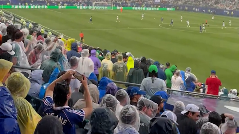
Athletes have been struggling through the U.S. heat during this year’s World Cup. AccuWeather’s Anna Azallion says it’s not just heat that players are battling through, it’s also humidity.
A dramatic change in the weather is on the way for the Pacific Northwest as a stretch of near-record heat and elevated wildfire risk gives way to cooler air and rain by the end of the week.
A brief surge of heat will send temperatures into the upper 80s and lower 90s along the Interstate 5 corridor from Seattle to Portland, Oregon, through the middle of the week. Temperatures at this level are around 5-15 degrees above historical averages for late June, which are generally in the lower to middle 70s.

The heat will pose health risks for people without air conditioning and those spending extended periods outside, even though it won't be as intense as the heat wave earlier in June.
GET THE FREE ACCUWEATHER APP
•Have the app? Unlock AccuWeather Alerts™ with Premium+
Conditions for the next World Cup match in Seattle between Bosnia-Herzegovina and Qatar will be warm and dry Wednesday. The match is scheduled to be played during the hottest part of the afternoon, with temperatures expected to climb into the lower 80s and AccuWeather RealFeel® Temperatures near 90 at times. Fans and players are urged to take precautions to reduce the risk of heat-related illnesses, including staying well hydrated by drinking plenty of water and electrolyte-rich beverages.
“The heat won’t last long as a significant pattern change is in store for the second half of the week,” AccuWeather Meteorologist Jack Wojczynski said.

A storm and associated dip in the jet stream will cause much cooler air to move into the area, especially on Thursday and Friday, according to AccuWeather Meteorologist Kai Kerkow.
By Friday, high temperatures will be 20-25 degrees lower than they were during the peak of the heat earlier in the week.
“Seattle’s first weekend of summer will feel more like late September than late June, with highs only in the mid-60s. This will come close to the record-lowest high temperature for June 26 of 62 set in 1999. Portland will see similar conditions by the weekend with highs in the middle to upper 60s,” Wojczynski said.

Fans attending the Egypt-Iran match in Seattle Friday evening may need a rain jacket and extra layers as temperatures are expected to fall into the mid- to upper 50s.
Along with the cooldown, showery weather will make a return from Washington and Oregon through Montana.
“Any precipitation that does fall would mark the end of a two-week stretch of dry weather. Portland and Seattle last recorded any precipitation on June 9 and June 10, respectively, with trace amounts observed,” Wojczynski said.

By the weekend, steadier rain may develop over the interior Northeast in eastern Washington, eastern Oregon and Idaho as the storm strengthens, with snow possible over the highest elevations of the northern Rockies in Montana, Idaho and Wyoming.
Wester U.S. wildfire risk to surge this week
“Prior to any meaningful rain, there will be an elevated fire risk east of the Cascades through the northern Rockies as winds increase ahead of the storm,” AccuWeather Meteorologist Brandon Buckingham said. “Dry thunderstorms with frequent lightning strikes can also be the impetus for wildfire starts.”

The highest wildfire risk through the end of the week will be across portions of Nevada, Utah, Colorado, Wyoming and Arizona, where dry, gusty winds, heat and a lack of rainfall will heighten the fire danger.


Want next-level safety, ad-free? Unlock advanced, hyperlocal severe weather alerts when you subscribe to Premium+ on the AccuWeather app. AccuWeather Alerts™ are prompted by our expert meteorologists who monitor and analyze dangerous weather risks 24/7 to keep you and your family safer.
Report a Typo