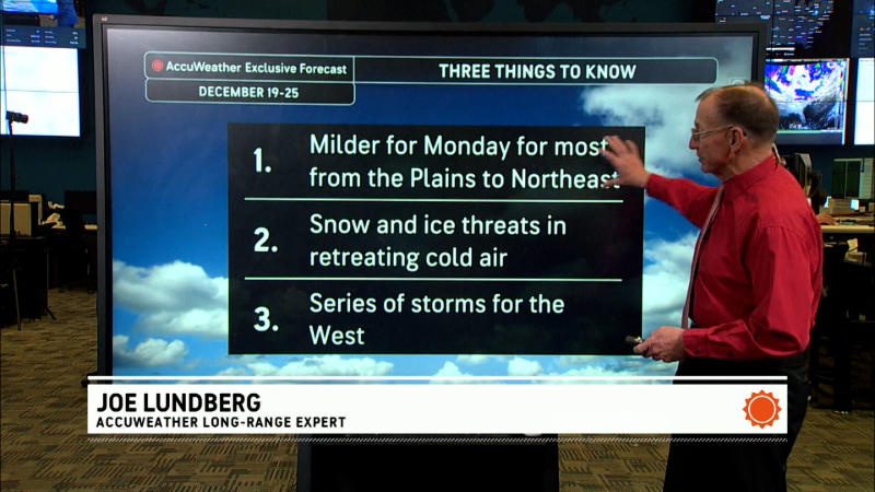
Harsh winds weaken across the Northeast but snow possibilities loom
The morning map showed a large high pressure area over the Upper Midwest. A strong low pressure area was northeast of New England and some weak low pressure centers dot the South. Satellite movies show a strong west to east flow across the United States. If that flow was all that existed, temperatures would generally be moderate. However, across Canada we see a flow from Alaska through western Canada on southward. That produces continued injections of a cold air into the westerly flow that dominates the U.S.
Here is the morning surface map, followed by forecast maps for midweek and late week.


At first glance, the lat- week storm looks like one that will cut to the northwest on the Northeastern states. As you are probably aware, that's the kind of storm that usually brings rain and a temporary warmup to the I-95 corridor. However, it appears that a very cold air mass could follow that storm to start next week.
Report a Typo


