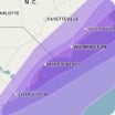
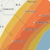
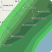
The recent storm brought mostly rain to the Houston area, but also some sleet and freezing rain to the north and northwest. In the wake of this storm long periods of below freezing temperatures will lead to some patches of ice, especially on, but not limited to, bridges and overpasses. Extensive power outages from the ice storm exist north and to some extend west of the city. This areas without heat will experience dangerously cold conditions with a heightened risk of frozen pipes and water damage.
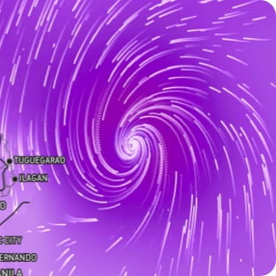
Wind Flow
This interactive map provides a visual representation of wind speed and direction over the next 24 hours
Maximum Sustained Winds
The projected maximum sustained winds of an active tropical system

Maximum Wind Gusts
The projected maximum wind gusts of an active tropical system
