Rainfall from a non-tropical storm is forecast to precede Rachel in the Los Angeles area this weekend. The bulk of downpours from Rachel, most likely as a tropical wind and rainstorm, are forecast to occur on Sunday and Sunday night as impacts from the non-tropical storm continue. Low-lying neighborhoods, urban locations and normally dry streambeds will be most susceptible to rising water with localized flash flooding possible where the heaviest rain persists. Mudslides and other debris flows are another concern, especially in recent burn scar locations.
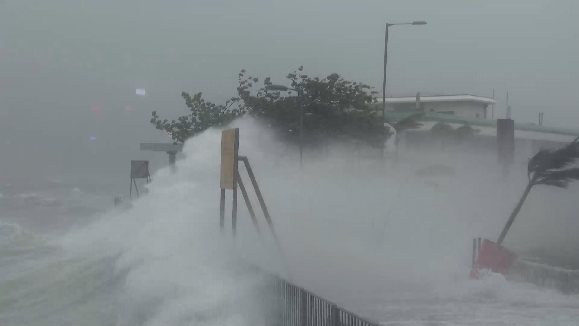
While Rachel will be less intense in terms of wind from prior hurricanes at sea this season, its close proximity will bring gusty winds for a time this weekend. Winds could briefly become strong enough to knock down some trees and cause sporadic power outages. Wave action from the close-in storm will generate large swells and heavy surf for a time as well.
In addition to the hazards from the combined storms, some drought and wildfire relief is likely where the most drenching rain occurs. The storm combo will break the heat wave with temperatures below the historical average to follow.
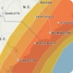
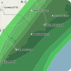
Hourly Wind Speeds
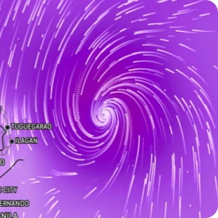
Sunday, 9 AM - Sunday, 5 PMWind Flow
This interactive map provides a visual representation of wind speed and direction over the next 24 hours
Maximum Sustained Winds
The projected maximum sustained winds of an active tropical system
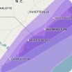
Maximum Wind Gusts
The projected maximum wind gusts of an active tropical system