Thundery downpours, severe storms to aggravate eastern and central US
A stormy weekend continues across the central and eastern US, with severe weather and flash flooding disrupting travel and outdoor plans.
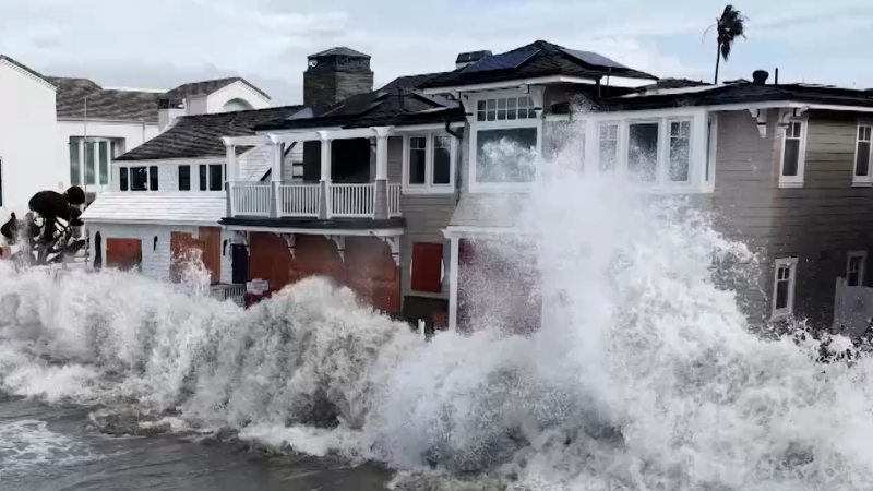
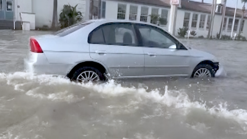
Severe storms flooded homes in St. Catharines, Ontario, on Aug. 2 after more than 5 inches of rain overwhelmed roads and stormwater systems, prompting a state of emergency declaration.
An active pattern will bring severe thunderstorms and flash flooding to parts of the central and eastern United States, threatening outdoor plans into early next week.
"The steamy air sticking around will help provide fuel for the storms," AccuWeather Chief On-Air Meteorologist Bernie Rayno said. "Weak fronts and the edges of high pressure will help focus the storms, allowing some to become severe or produce torrential downpours."
Summer downpours may cause flash flooding and travel disruptions, while clusters of thunderstorms will become severe enough to bring damaging winds and frequent lightning strikes.

Complexes of storms may unfold in north-central US this weekend
After Friday's storms, the overall severe weather threat should diminish somewhat across the Northeast through this weekend, though a few drenching thunderstorms will still be possible. However, the storm pattern may evolve across parts of the Plains and Midwest to favor long-lived thunderstorm complexes capable of producing widespread damaging winds.
Saturday night, thunderstorms capable of producing damaging winds will extend from central Nebraska and South Dakota to far northeastern Kansas, northern and central Missouri, much of Iowa and west-central Illinois.

On Sunday and Sunday night, a similar threat may develop slightly farther to the north from portions of South Dakota and Nebraska, eastward across Iowa into northern Illinois and Indiana. Thunderstorms will once again be capable of flooding downpours and damaging wind gusts, as well as perhaps a localized tornado or two.

Storms to drench Southeast states through this weekend
As clockwise circulation strengthens around an area of high pressure centered just offshore in the western Atlantic, increasing moisture will lead to rounds of drenching and locally gusty thunderstorms from Florida to Alabama, Georgia, the Carolinas and eastern Tennessee through Monday.

Several inches of rain may pour down in parts of the region over the next one to four days. While the rain may ease drought conditions in parts of Florida and southern Georgia, it could also trigger flash flooding.
Flash flood risk to aim for Ohio Valley, Catskills, West Virginia next week
The thunderstorm complexes that develop and gain steam over the Midwestern states this weekend will continue eastward early next week.

On Monday and Monday night, a swath of thunderstorms packing damaging wind gusts and flooding downpours is expected to stretch from Illinois to West Virginia.

On Tuesday and Tuesday evening, a swath of thunderstorms packing damaging wind gusts and flash flooding potential is expected to stretch from Illinois into Virginia and Maryland, including Washington, D.C.
This same corridor could face multiple rounds of severe weather during the first half of next week.

The cumulative effect of the downpours may result in localized to widespread flooding. The greatest risk for flash flooding will be where the heaviest rain coincides with the higher terrain of southeastern Ohio, eastern Kentucky, West Virginia and southwestern Pennsylvania.


Want next-level safety, ad-free? Unlock advanced, hyperlocal severe weather alerts when you subscribe to Premium+ on the AccuWeather app. AccuWeather Alerts™ are prompted by our expert meteorologists who monitor and analyze dangerous weather risks 24/7 to keep you and your family safer.
Report a Typo