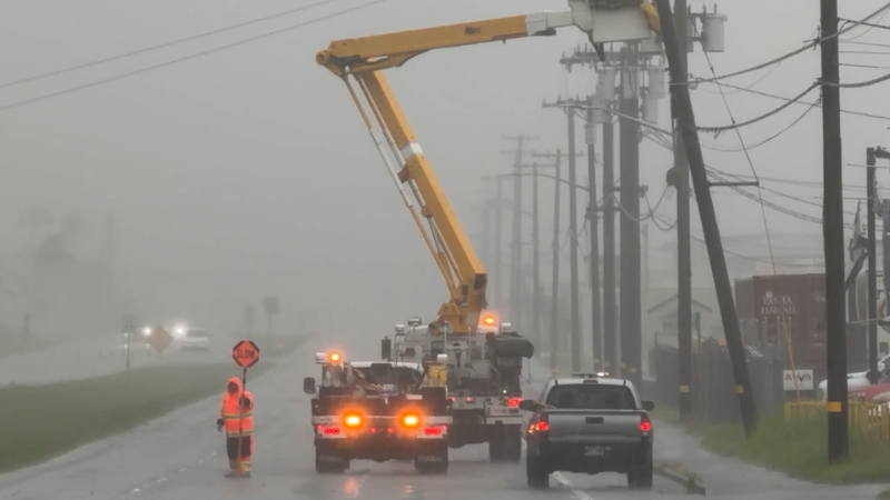
Stormy stretch to bring severe weather, renewed flooding threat from Plains to Eastern Seaboard
Persistent storms from the Plains to the East will bring a risk of severe weather and a renewed threat of flash flooding this week.
Days of repeated thunderstorms in Indiana have led to significant river flooding.
The persistent stretch of storms will continue this week from the Plains into the Midwest and parts of the East, AccuWeather meteorologists warn. This comes days after a deadly derecho that packed 99-mph winds and left more than 800,000 without power in the Midwest.
With many state and local fairs ongoing into early this week, individuals are urged to have multiple ways to receive warnings, including downloading the AccuWeather App and having a plan to seek shelter.
Severe risk focuses across the Midwest early this week
The ingredients for severe to locally heavy and gusty storms will continue on Monday.
Thunderstorms capable of producing damaging wind gusts and locally torrential downpours are possible from central Nebraska to southern Minnesota.

Farther to the east, some severe thunderstorms are forecast from eastern Tennessee to southwestern Virginia, central North Carolina and northern South Carolina. Some of the storms will pulse enough to cause localized damaging winds. However, storms with disruptive downpours will be more common. Flash flooding can occur in the most intense downpours.

On Tuesday, the risk for severe weather will focus across the Midwest as a storm and associated front move into the region.
From central Nebraska into central Illinois, storms will be capable of producing damaging hail and wind gusts.

"Storms Tuesday afternoon and night will impact areas that received multiple rounds of heavy rain and storms across Iowa and Illinois last week," said AccuWeather Meteorologist Lauren Bader. "With soils already saturated, the risk for flash flooding will persist."
Severe risk continues through midweek
The focus for severe weather will shift into the Plains midweek. Thunderstorms from eastern Colorado northward into central South Dakota will bring a risk of flash flooding, hail and localized damaging wind gusts of 60-70 mph.

Later in the week, the severe thunderstorm threat will shift east again, with the main hazards being flash flooding and damaging winds. The greatest risk on Thursday will extend from far southeastern Missouri and far northeastern Arkansas into central North Carolina and southwestern Virginia.


Want next-level safety, ad-free? Unlock advanced, hyperlocal severe weather alerts when you subscribe to Premium+ on the AccuWeather app. AccuWeather Alerts™ are prompted by our expert meteorologists who monitor and analyze dangerous weather risks 24/7 to keep you and your family safer.
Report a Typo