Go Back
  • For Business
  • |
  • Warnings
  • Data Suite
  • Forensics
  • Advertising
  • Superior Accuracy™
T.D. 9 to become hurricane in the Gulf before U.S. landfall. Click for details. Chevron right

Columbus, OH

57°F
Location Chevron down
Location News Videos
Use Current Location
Recent

Columbus

Ohio

57°
No results found.
Try searching for a city, zip code or point of interest.
Get Premium+
Create Your Account Unlock extended daily and hourly forecasts — all with your free account.
Let's Go Chevron right
Have an account already? Log In
settings
Help
Columbus, OH Weather
Today WinterCast Local {stormName} Tracker Hourly 10-Day Radar MinuteCast® Monthly Air Quality Health & Activities

Around the Globe

Hurricane Tracker

Severe Weather

Radar & Maps

News

News & Features

Astronomy

Business

Climate

Health

Recreation

Sports

Travel

For Business

Warnings

Data Suite

Forensics

Advertising

Superior Accuracy™

Video

Winter Center

Top Stories Severe Weather Hurricane Center Astronomy Heat Alert Climate Recreation Trending Today Health In Memoriam Case Studies Blogs & Webinars

Weather Blogs / WeatherMatrix

Devils Lake Flooding Takes Another Road, Gets Attention

Two years ago I ran a story about the town of Devil's Lake, North Dakota that has been threatened by continually rising water for 17 years.

By Jesse Ferrell, AccuWeather meteorologist

Published May 6, 2010 12:11 PM EDT

Copied

UPDATE: SEPTEMBER 2010: The Associated Press and AccuWeather.com have picked up on the story.

Devils Lake AP

In this Aug. 24, 2010, photo is what used to be U.S. Highway 281 on the north end of Minnewaukan, ND. The road has since been moved because of approaching waters from Devils Lake. Residents from Minnewaukan are scrambling to save their town from the lake, which is approaching from three sides. (AP Photo/Dave Kolpack)

AP Photo/Dave Kolpack

UPDATE JULY 2010: NOAA has launched a new website to support future decisions about Devil's Lake.

Two years ago I ran a story about the town of Devil's Lake, North Dakota that has been threatened by continually rising water for 17 years. A news article puts is succinctly: "Devils Lake has risen about 27 feet, hit record levels and tripled in size since 1993 because of a series of wet years, causing hundreds of millions of dollars in damage." Close to $1 billion dollars has been spent to save the town. The photo below was taken by FEMA in 2009.

Devils Lake 2010 FEMA

Last year around this time I updated the story to say that the lake was close to a new record, and another 10 feet would bring a "2000-year flood". Last week, another major highway (Highway 20) was closed due to the flooding. On May 3rd, the problem seemed to get some national attention when FEMA visited, along with other local, state and national government officials. You can read a summary of what happened at the flood summit on this website, or watch videos of the summit on the Devil's Lake Facebook Page. The problem seemed to be taken very seriously and the best solution, called the "east end outlet" was approved by the townspeople, but there was no date set for completion.

Devils Lake 2010

- STUMP LAKE CURRENT LEVELS
- STUMP LAKE FORECAST LEVELS (Not Available Currently)
- STUMP LAKE COMPARED TO HISTORICAL PEAKS
- DEVILS LAKE CURRENT LEVELS
- DEVILS LAKE FORECAST LEVELS (Not Available Currently)
- DEVILS LAKE COMPARED TO HISTORICAL PEAKS
- COMPLETE DEVILS LAKE 100+ YEAR HISTORIC LEVELS

One year ago when I wrote about this, Devil's Lake was near record levels at 1449 feet. It has now surpassed record levels and was sitting at 1451.77 feet yesterday. If you think it's bad in town, check out nearby Stump Lake, which Devil's Lake is pouring into. It was around 1448 feet then, it peaked at 1451.64 when the summit was taking place on May 3rd. Three feet doesn't sound like a big rise but it's enough to take out a road and a wide swath of land, depending on topography, and remember the lakes are above the elevation of much of the surrounding land so it's up to man to keep the water out.

One thing a lot of people don't realize about Google Maps is that, while the high-res satellite/aerial shots are frequently updated, the map data itself (showing roads, for example) is updated extremely infrequently -- every 10 to 30 years. Something very eye-opening to do is to look at the Stump Lake area and turn on the "Satellite With Labels" option in Google. That reveals many former roads which are now underwater:

You can also see where trees have been killed by submersion (dead trees appear as grey objects instead of green, in the satellite photos taken during the summer). And as I mentioned in last year's report, you can see photos of the dead trees by using Google Street View.

Devils Lake 2010

You can also compare the size of the lake, shown from their "Map" layer in light blue below, against the satellite image showing the current lake (note the two small lakes to the north which are now part of Stump Lake):

Devils Lake 2010
Report a Typo

Weather News

Climate

Kelvin wave heads for Pacific Coast, adding to coastal erosion

Oct. 6, 2026
Astronomy

NASA’s Crew-12 to return to Earth after nearly 8 months in space

Oct. 6, 2026
video

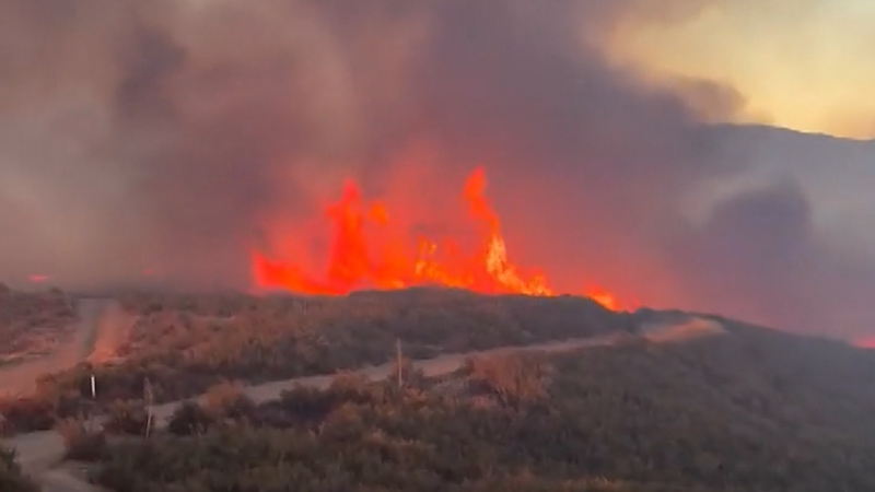
Fast-growing wildfire triggers evacuations in Southern California

Oct. 5, 2026
Show more Show less Chevron down

Topics

Top Stories

Severe Weather

Hurricane Center

Astronomy

Heat Alert

Climate

Recreation

Trending Today

Health

In Memoriam

Case Studies

Blogs & Webinars

ABOUT THIS BLOG
WeatherMatrix
Jesse Ferrell
AccuWeather Meteorologist and Social Media Manager Jesse Ferrell covers extreme weather and the intersection of meteorology and social media.
  • Astronomy
    with Dave Samuhel
  • Canadian weather
    with Brett Anderson
  • Global climate change
    with Brett Anderson
  • Global weather
    with Jason Nicholls
  • Northeast US weather
    with Elliot Abrams
  • Plume Labs on Air Quality
    with Tyler Knowlton
  • RealImpact of weather
    with Dr. Joel N. Myers
  • WeatherMatrix
    with Jesse Ferrell
  • Western US weather
    with Brian Thompson

Featured Stories

Astronomy

Jupiter disappeared behind the moon in an eclipse-like event

10 hours ago

Travel

Sycamore Gap tree sprouts new life 3 years after vandals cut it down

1 day ago

Weather News

Yosemite’s Dome Fire identified as human-caused

1 day ago

Weather News

New statue unveiled to honor Jackie, Big Bear’s beloved bald eagle

5 days ago

Weather News

The hidden costs behind your higher electric bill

1 day ago

AccuWeather Weather Blogs Devils Lake Flooding Takes Another Road, Gets Attention
Company
Proven Superior Accuracy™ About AccuWeather Digital Advertising Careers Press Contact Us
Products & Services
For Business For Partners For Advertising AccuWeather APIs AccuWeather Connect Personal Weather Stations
Apps & Downloads
iPhone App Android App See all Apps & Downloads
Subscription Services
AccuWeather Premium AccuWeather Professional
More
AccuWeather Ready Business Health Hurricane Leisure and Recreation Severe Weather Space and Astronomy Sports Travel Weather News Winter Center
Company
Proven Superior Accuracy™ About AccuWeather Digital Advertising Careers Press Contact Us
Products & Services
For Business For Partners For Advertising AccuWeather APIs AccuWeather Connect Personal Weather Stations
Apps & Downloads
iPhone App Android App See all Apps & Downloads
Subscription Services
AccuWeather Premium AccuWeather Professional
More
AccuWeather Ready Business Health Hurricane Leisure and Recreation Severe Weather Space and Astronomy Sports Travel Weather News Winter Center
© 2026 AccuWeather, Inc. "AccuWeather" and sun design are registered trademarks of AccuWeather, Inc. All Rights Reserved.
Terms of Use | Privacy Policy | Cookie Policy | About Your Privacy Do Not Sell or Share My Personal Information | Data Sources

...

...

...